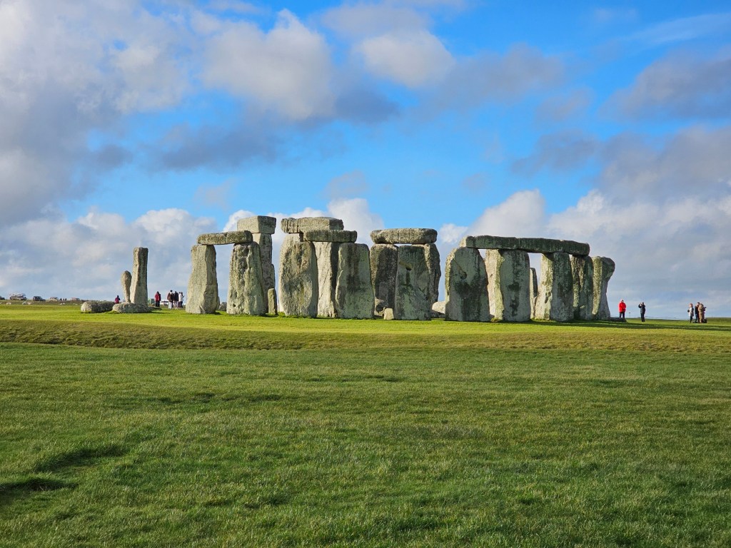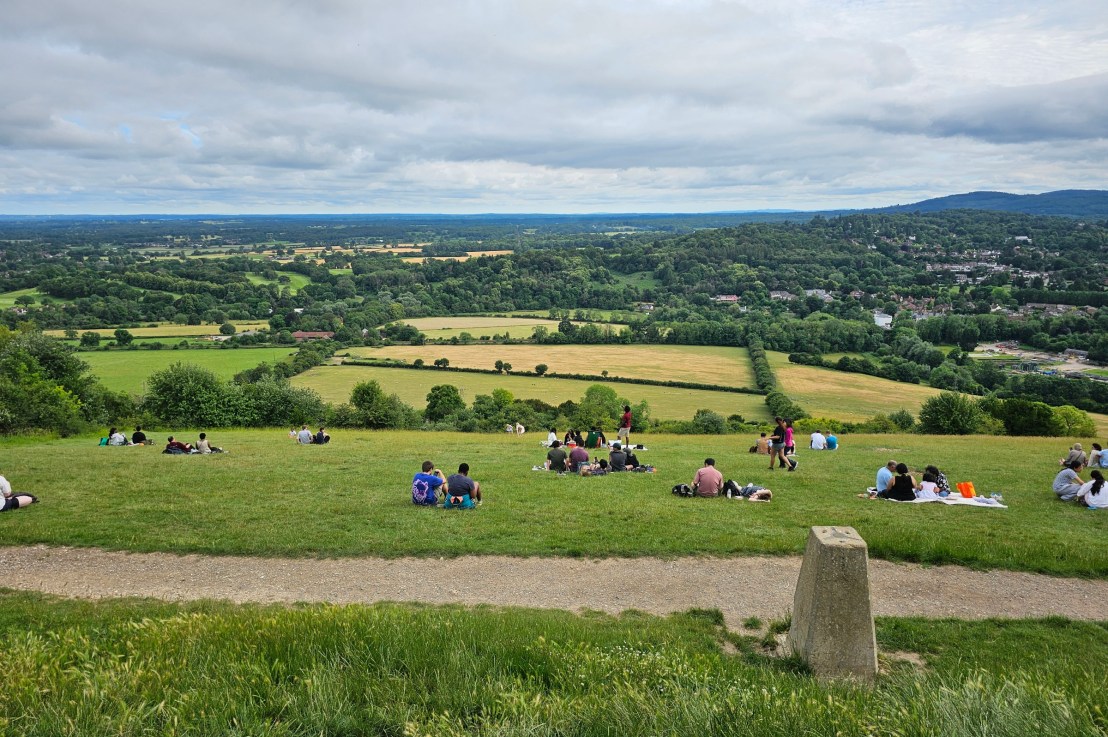
There are few things I enjoy as much as a Saturday hike. Living in London, one of the main things I miss are proper mountains a stone’s throw away. The south of England is pretty flat, but I’ve been able to find a few decent places for a hike near London, all accessible by train. If you’re looking for inspiration for your next hike, I hope this post helps! Some of these are quite long, but there are ways to cut them short near a train station.
Ramsgate to Margate walk
Let’s start with a medium length hike, and an easy one. If you take a train to Ramsgate, a coastal town in Kent, you can walk to Margate, another popular seaside resort. The route is really straightforward – just follow the coastline! This trail is part of the English Coast Path – a public trail along the entire English coastline.
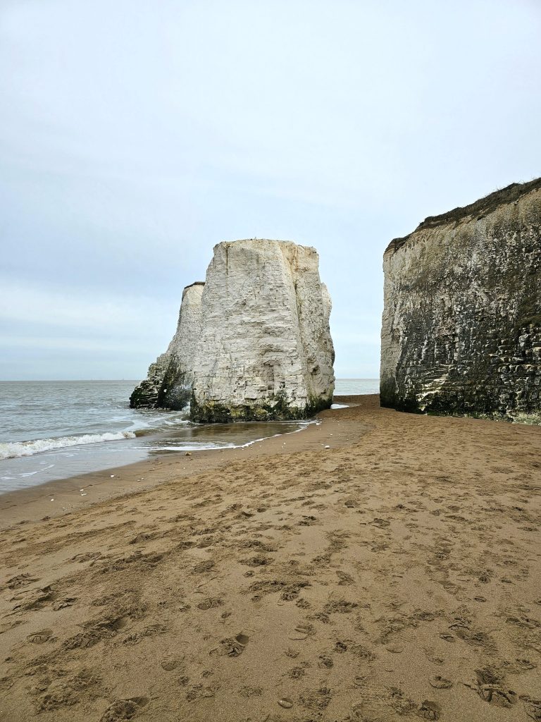
This route is around 16 km (10 miles). It’s pretty flat, with just a few small ascents. Along the way, you’ll see some unique rock formations and detached parts of the cliffs. You probably want to check tide times for the day of your trip, if you want to walk between the cliffs – that’s only possible at low tide!
And whilst you’re there, make sure to explore Ramsgate and Margate. Both are lovely and worthy of a separate visit!
From Margate, you can take a train back to London.

Whitstable to Margate
Whilst we’re at Margate, I need to mention the hike in the opposite direction to Ramsgate. Take a train to Whitstable, and walk towards the seafront. You’ll go through the high street – I recommend exploring the independent shops, especially if you need to buy some gifts. You can find some unique gems there!
I walked from Whitstable all the way to Margate. The route was really well signposted, so bonus points for that. It’s part of the English Coast Path, like many other hikes in this post.
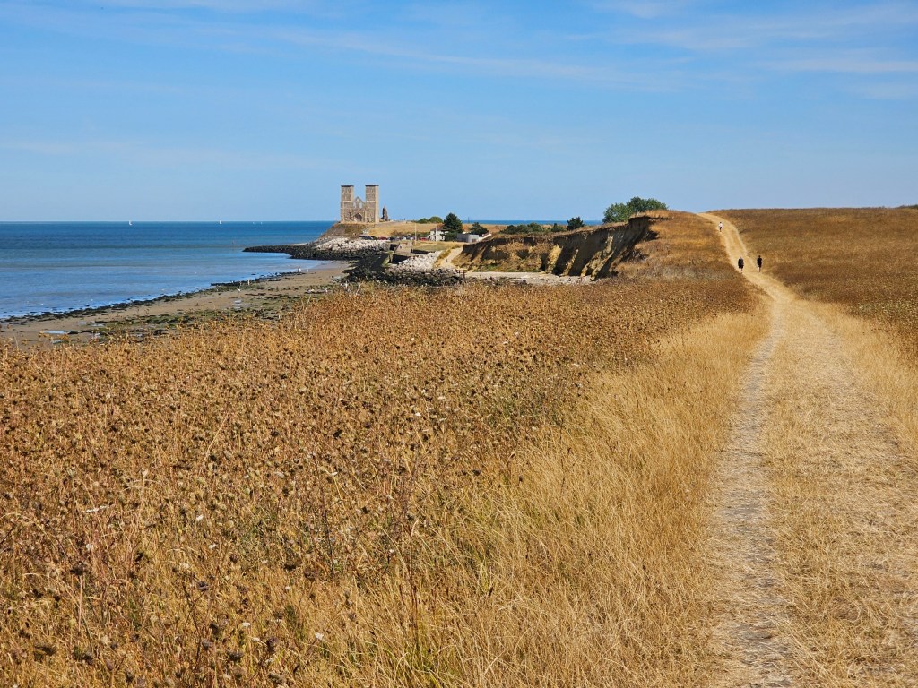
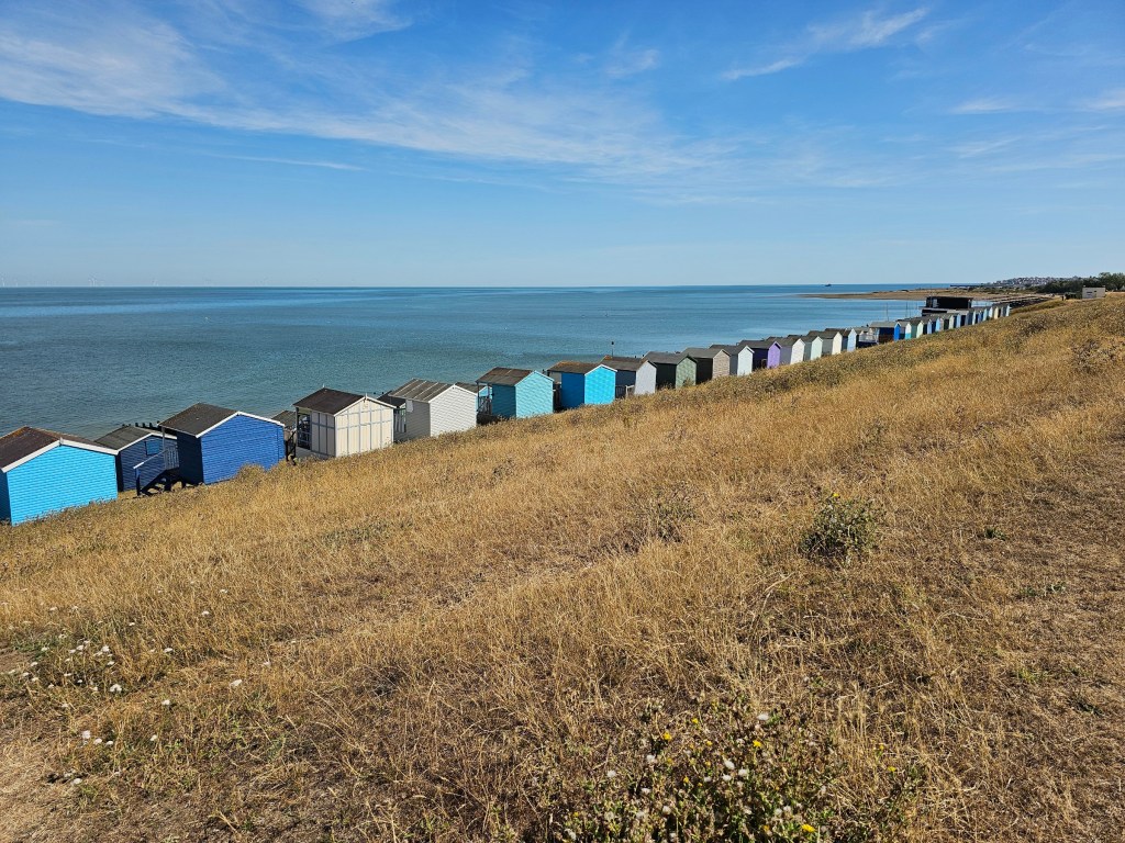
One of the highlights of that hike was Reculver – the ruins of a Roman fort look pretty incredible on top of a cliff, and the landmark can be seen from far away. If I had to choose one word to describe this hike (well, maybe two words), it would be a beach hut. There were hundreds of them along the way from Whitstable to Margate. A pretty incredible sight!
The whole route is pretty long, over 32 kilometres (20 miles). There are a few train stations along the way, though, so you can cut the hike short, or start it a bit further along.
Folkestone to Dover
Let’s stay on the English Coast Path, but more a bit further west. One of my favourite coastal towns in Kent is Folkestone. It’s a charming town, with lots of quirky shops and great views. It’s one of my go to places for a day trip when I lack inspiration. But apart from the town itself being great, it also offers good hiking opportunities!
The hike from Folkestone to Dover is one of my favourite hikes near London. There are a couple of different ways of getting from Folkestone to Dover, so make sure to check the route before you go!
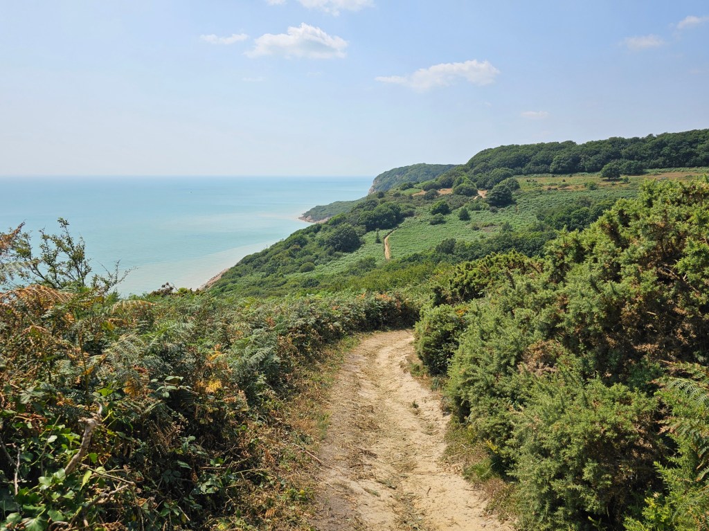
When I first did that walk, I accidentally ended up walking at the beach level. It wasn’t a bad walk, but it also wasn’t where I intended to go. So, I went again, and made sure to follow the clifftop route. The views were stunning!

Just before Dover, it’s worth getting down to the sea level. There’s a nature reserve, Samphire Hoe, created artificially with soil excavated during the works on the Eurotunnel. If you’re lucky, you might see cows, sheep, or even goats grazing there. There’s also a small shop with refreshments and toilets there.
Once you get to Dover, you can take a train back to London, or continue the hike on the White Cliffs of Dover.
The route from Folkestone to Dover is around 15 km (9 miles).

White Cliffs of Dover
One of the most famous parts of English coast has got to be the iconic White Cliffs of Dover. And for a good reason!
You can take a train to Dover, and after a short walk, you’ll reach the start of the White Cliffs trails. Conveniently, there’s a visitor centre nearby, with a cafe, toilets, and a gift shop. There are many walking paths on the White Cliffs of Dover, so you can choose to just wander around.
If you stick to walking along the coast, you’ll eventually get to Kingsdown, or even Deal. Along the way, you’ll get to enjoy stunning views. If the air is ‘clear enough, you’ll even see the coast of France on the horizon, on the other side of the English Channel. It’s only some 40 kilometres away! The route from Dover to Deal is about 16 kilometres (10 miles). You can take a train from Deal back to London, or you can turn back at any point of the hike and return to Dover.
I posted about my hike from Dover to Kingsdown and back. Recently, I walked all the way from Folkestone to Sandwich Bay, nearly 50 kilometres (31 miles)! I haven’t posted that hike yet, but it’s coming soon.

Folkestone to Hythe
Let’s go back to Folkestone for a moment. I already called out the hiking route from Folkestone to Dover. But if you walk in the opposite direction, you can enjoy a long walk from Folkestone to Hythe. That route is completely flat and runs along the beach. It’s part of the English Coast Path too. This trail doesn’t have dramatic cliff views, it’s more of a relaxing stroll.
When I did that walk, it was a bit of an accidental discovery. I went to Folkestone for a chilled trip without a plan, and ended up having too much spare time.
Hythe is a charming small town with a traditional high street. But its hidden gem is the 11th century church – St Leonard’s. The church has the biggest collection of human skulls in all of England, and you can see them if you buy a ticket for the crypt. The route from Folkestone to Hythe is about 10 kilometres (6 miles), and it’s a really easy walk. I walked all the way back from Hythe to Folkestone too, but you can choose to take a bus instead.

Wye – Kent Area of Outstanding Natural Beauty
Let’s leave the south-east coast for a moment, but we’re staying in Kent.
A few years ago, I did a lovely hike near Wye, deep in the heart of Kent Downs Area of Outstanding Natural Beauty.
I got to Wye by train, and walked through the countryside to Devil’s Kneading Trough. Frankly, the most memorable part of that hike was a rather traumatic encounter for me.
I saw a beautiful pheasant and managed to get some pictures up close. Big, big mistake. After the photoshoot, the pheasant was so attached to me, it didn’t want to let me go. I had to sprint away! Traumatic animal encounters aside, the hike from Wye to Devil’s Kneading Trough was lovely and peaceful. A few years have passed, and I’ve been thinking that I should go again.

The trail is in the middle of nowhere, so I walked back to Wye to catch a train to London. In a straight line, it’s a short hike from the train station to Devil’s Kneading Trough, around 3.5km (2 miles). You can find slightly longer circular routes online, up to around 12 kilometres (8 miles).

Southease to Lewes – South Downs
Now, let’s move west, to South Downs National Park. I recently posted about my hike from Southease to Lewes from September this year.
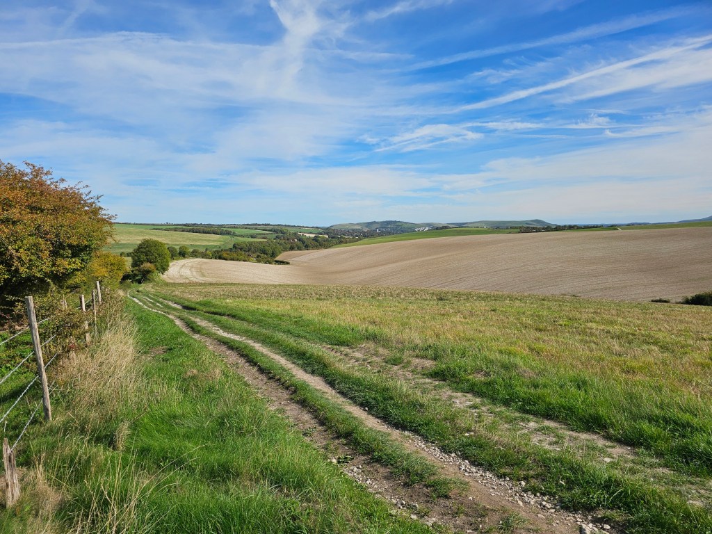
It was a relaxing stroke through the countryside with views of rolling hills, the English Channel far on the horizon, and animals grazing on the fields.
You can take a train from London Victoria to Lewes, and then another quick train from Lewes to Southease. From there, it’s about a 4 hour walk back to Lewes along the South Downs Way – about 23 km (14.5 miles).
There are no facilities along the way, so keep that in mind!
Once you’re back in Lewes, take some time to explore the town. There’s a castle, ruins of a priory, and a charming high street. Then, hop on a train from Lewes back to London Victoria.
Seven Sisters – Seaford to Eastbourne
The hike from Southeast to Lewes is nice, but the most popular part of South Downs National Park are the Seven Sisters. The famous cliffs attract thousands of hikers every year, for a good reason. The views are simply incredible.
Take a train to Seaford (you’ll need to change at Lewes), and walk along the coastline, eastbound. You’ll quickly reach the first cliff to climb, and after another longer while, you’ll reach the iconic viewpoint of the cottages at Cuckmere Haven and the stunning Seven Sisters in the background.
But before you hike on the Seven Sisters, you’ll need to cross Cuckmere River. Some people choose to walk across the river at low tide, but that’s dangerous. Instead, follow the river inland to the first bridge, cross the water, and walk back. This detour adds about an hour, but it’s the safest option. The views along the way are beautiful, so it’s pretty enjoyable anyway. Not too far from that bridge, you’ll find a Visitor Centre with toilets and a cafe.

Once you reach the Seven Sisters, you’ll walk up and down the cliffs with a fair amount of ascent. The hike is quite physical, but the spectacular views are a great reward for the effort.
When you reach Birling Gap, you’ll find another Visitor Centre with toilets, souvenir shop, and a large cafe. There’s also a car park there, which is a contributing factor to the area being incredibly busy in the summer.
If you follow the path along the coastline further east, you’ll get to Eastbourne, from where you can catch a train back to London Victoria.
The route from Seaford to Eastbourne, including the detour to cross the river, is around 21 km (13 miles), with a fair amount of ascent. The first ever marathon distance hike that I did was when I walked from Seaford to Eastbourne and back. It was demanding, but I loved every minute!

Hastings to Rye
Both Hastings and Rye are charming towns, worth a standalone visit. I visited Hastings for the first time on a bank holiday weekend and explored all touristy places. Since then, Hastings has been one of my go-to places for a day trip from London.
A couple of years ago, I visited Rye. It’s one of the most beautiful small English towns I’ve been to. The old town, full of medieval buildings, is spectacular.
East of Hastings, on top of the cliffs, there are amazing hiking trails with great views. And if you walk along the English Coast Path far enough, you’ll reach Rye Harbour. From the harbour, it’s about 1 hour walk to Rye town centre and train station.
The full hike, from Hastings train station to Rye Harbour and then Rye centre, is around 27 kilometres (16.5 miles).
Isle of Portland
This one takes a bit longer to get to, but if you fancy seeing a coastal landscape very different to Kent, it’s worth a visit. You’ll need to take a train to Weymouth, and then a bus to the Isle of Portland.
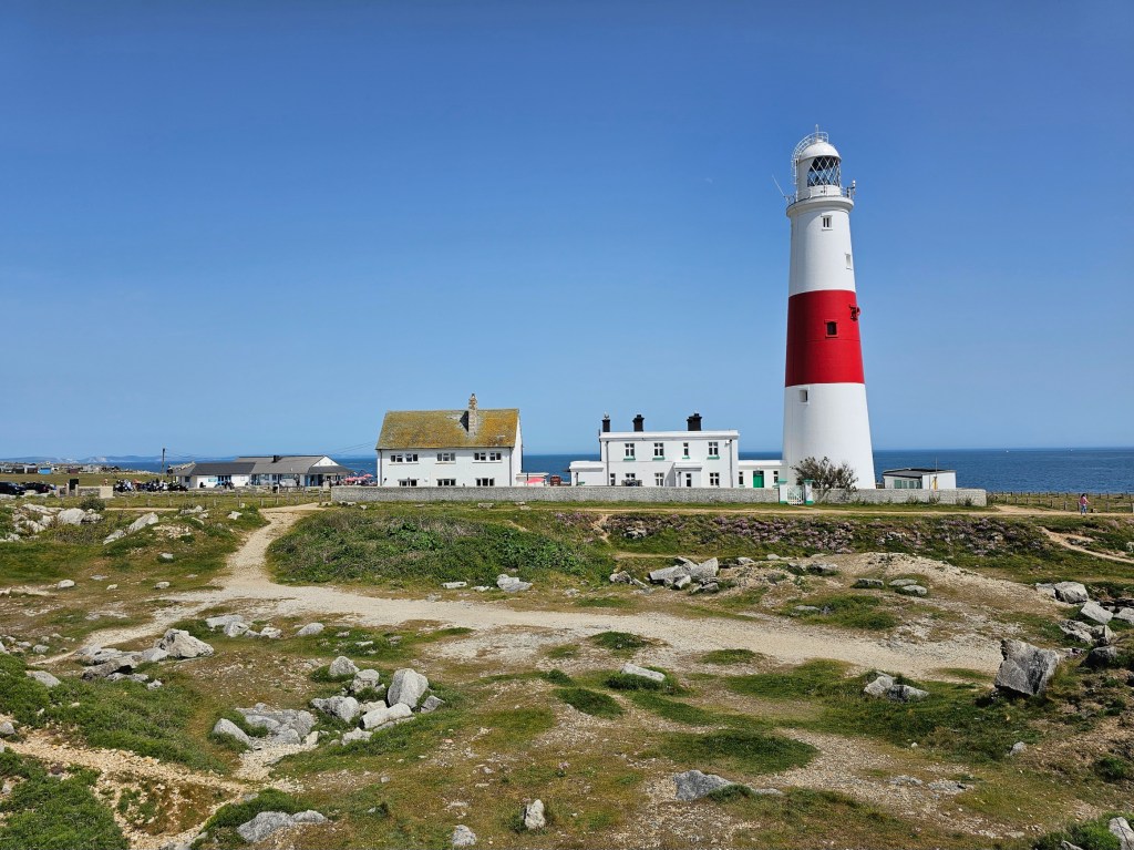
There, you can wander along the coastline, admiring the views. I only had time to explore a short section of the Isle of Portland near Portland Bill Lighthouse, but the SW Coast Path runs along a large part of the isle. Personally, I can’t wait to go back and explore all of it.
Box Hill
One of the easiest – and cheapest – hiking trips from London is Box Hill. A return train ticket is around £10, which is decent for UK standards.
Once you get off the train at Box Hill & Westhumble, it’s just a short walk to get to the start of the trails near the Stepping Stones. The trail starts with a fairly steep climb, a great way to warm out. After about 15 minutes, you’ll reach the top of Box Hill and get to enjoy the view.
But, getting to the top of Box Hill is just the beginning of the fun!

There’s a visitor centre nearby, with toilets and a cafe. And that’s where the official hiking trails begin.
There are a few official routes, varying in lengths – you can choose one that works for you. The routes are relatively well signposted.
I always chose the longest trail, called simply the Box Hill Hike. It’s around 13 km (8 miles) and takes about 4 hours to complete. You’ll walk through the countryside pretty much all of that time. Halfway through, you’ll walk through a village with a couple of pubs – convenient, if you need a break.
Recently, I designed my own extended Box Hill trail, nearly doubling the length of the official one. It’s not for the faint-hearted, but if you’re after extreme hiking routes, it’s worth checking out!
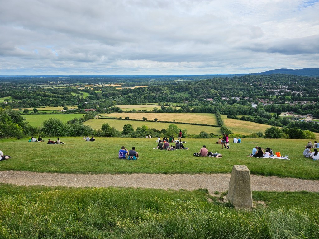
Guildford – two hiking areas
Guildford is one of my most surprising discoveries of 2026. I only visited it for the first time this summer, and have already returned once since then.
During my first trip to Guildford, I walked through the countryside west of the city, to Watt’s Gallery and back. The walk is about an hour each way, and Watt’s Gallery is a unique place worth visiting – especially the chapel!
More recently, I went to Guildford again to hike through the green areas east of the town. That hike was a longer, circular route – around 20 kilometres (12.5 miles). It was primarily a woodland walk with occasional views from the tops of the hills. I loved that route and will definitely do that hike again in the future. I’m working on a post with all details about that route!

Peak District
Now, let me mention two amazing, and widely known hiking destinations: Peak District and Lake District. I visited them with an overnight stay, but technically, you could go on quick hikes there on a day trip from London – you just need to plan it well.
Let’s start with Peak District, which is surprisingly public transport friendly. There’s a trainline connecting Manchester and Sheffield, which runs right through the heart of Peak District, through the mountains, and stops in the villages along the way.
I visited Peak District for the first time in July this year, during a work trip to Manchester. I went to Edale one evening, for a quick evening hike. It was spectacular!

I loved that hike so much that two months later, I came back. This time, for the weekend. I stayed in Sheffield and took trains in and out of Peak District each day. I already posted about my ultimate Peak District hike, during which I climbed several hills in one day, including the famous Mam Tor and Kinder Scout.
On the second day, I walked along the reservoirs and climbed Bamford Edge. I’m yet to write a post about that hike.
A train from London to Sheffield is about 2 hours, and a train from Sheffield into Peak District is about 30 minutes. If you catch an early morning train, you can probably do a decent hike and return to London in one day.
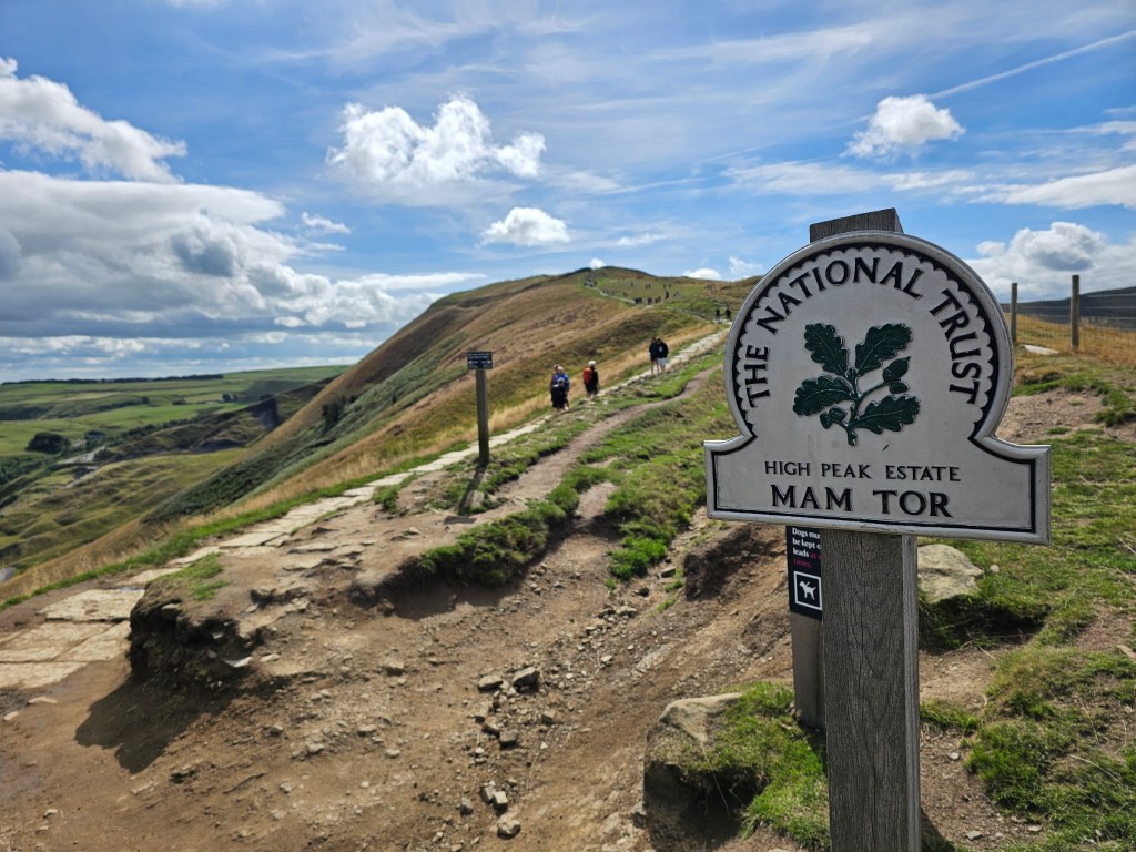
Lake District – Helvellyn, Ullswater
The second popular hiking location up north is Lake District. Its public transport isn’t as good as Peak District’s, but there are a few locations that you can get to without a car.
I visited Lake District for a weekend back in July. I stayed in Penrith, a town with direct train connection with London, just outside of Lake District bounds. From Penrith, I took local buses to get to the hiking trails.
My main target for that trip was climbing Helvellyn, which I did. Sadly, due to horrible weather that weekend, I didn’t get to enjoy the view from the top. I could barely see the trig point standing a few steps away from it. But if you have more luck than me, the views are supposedly incredible.
My second hike was around Ullswater Lake. At least during that trek I was able to enjoy a panoramic view of the lake and nearby hills.
The train journey from London to Penrith is about 3 hours. A bus from Penrith to Pooley Bridge or Glenridding is some 40-60 minutes. A day trip from London to Lake District would be a stretch, but technically, it could be done!
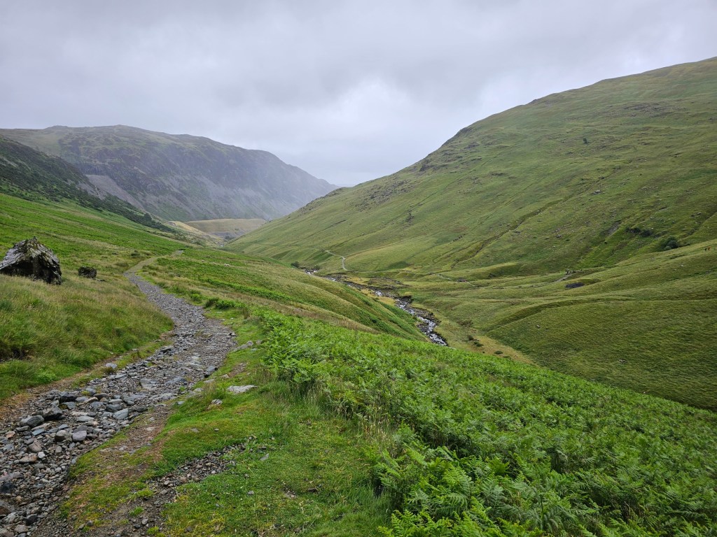
Final thoughts
So there you have it – a list of over 15 ideas for a hiking trip from London using public transport. I couldn’t pick a favourite one – they’re all unique and great for their own reasons. I hope this inspires you to book a train for your next hike soon! And if you have other favourite hiking destinations, share them with us in the comments.
Also see: