
A few years ago, I went to Hastings for a long weekend. One of my favourite parts of that trip was a hike from Hastings to Fairlight. It’s been a few years now and I forgot the details of that hike, but I remembered that it definitely included some great news. Recently, I decided to do it again – this time, on a day trip from London, in an extended version: from Hastings to Rye, along the English Coast Path. It was a long journey, and a tiring too – mainly due to my poor planning. The views were worth it, though! Here is how it went.
Getting to Hastings from London
I took a southeastern train from London Bridge to Hastings. The journey time was around 1 hour 30 minutes.
Getting to the start of the east cliff trail
Technically, my hike started as soon as I got off the train in Hastings. That’s when I started the activity tracker on my watch. However, the first section of the trip was through the town.
But, first of all, I had an important ritual to do. I have a favourite coffee shop in Hastings, which is conveniently located between the train station and the seafront – Hanushka Coffee. Every time I’m in Hastings, I visit my favourite cafe for a coffee and a sweet treat. It’s a tradition at this point! This time, I took my goodies for takeaway. I enjoyed my cappuccino straight away, but saved my slice of cake (tiramisu cheesecake) for later.
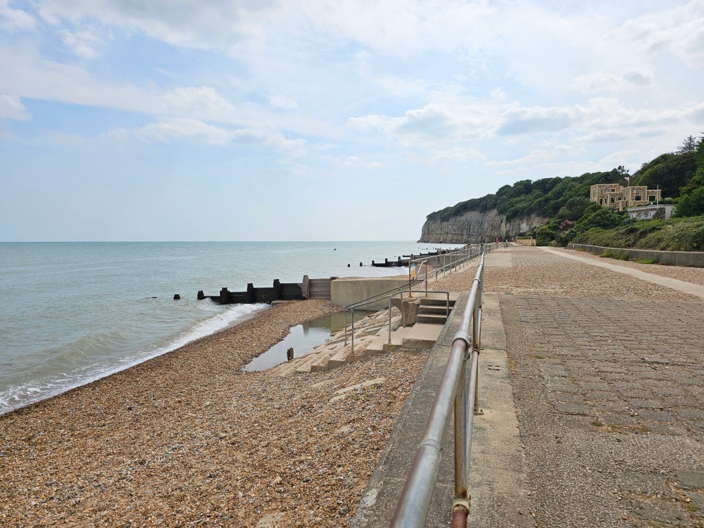
Then, I walked towards the east cliff along the promenade, enjoying the views of the beach and the sea. I would walk on the beach itself, but the pebble beaches in the UK are quite difficult to walk on for a long time. I noticed that the funicular on the east cliff was working again – it was closed for maintenance when I visited Hastings in May this year. I recommend taking the funicular for a one-off experience when you visit Hastings, but £5.50 for a 30-second ride is a bit too much to do it every time. So instead, I climbed the stairs. From leaving the train station, it took me 35 minutes to get to the start of the trails on top of east cliff.
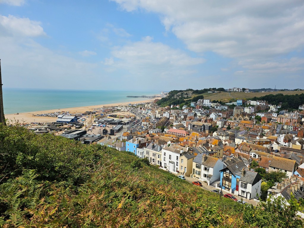
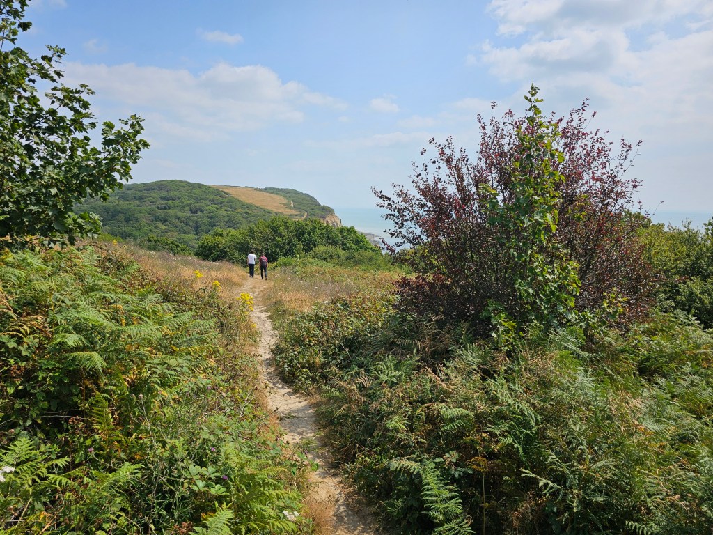
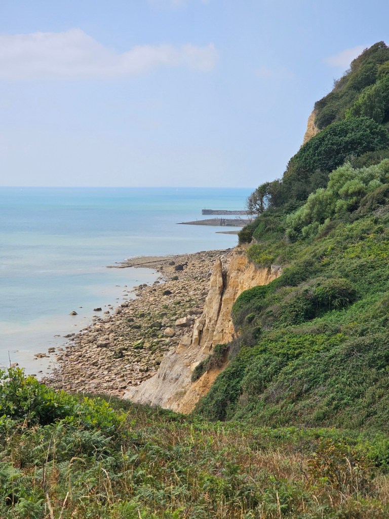
From Hastings east cliff to Fairlight Visitor Centre
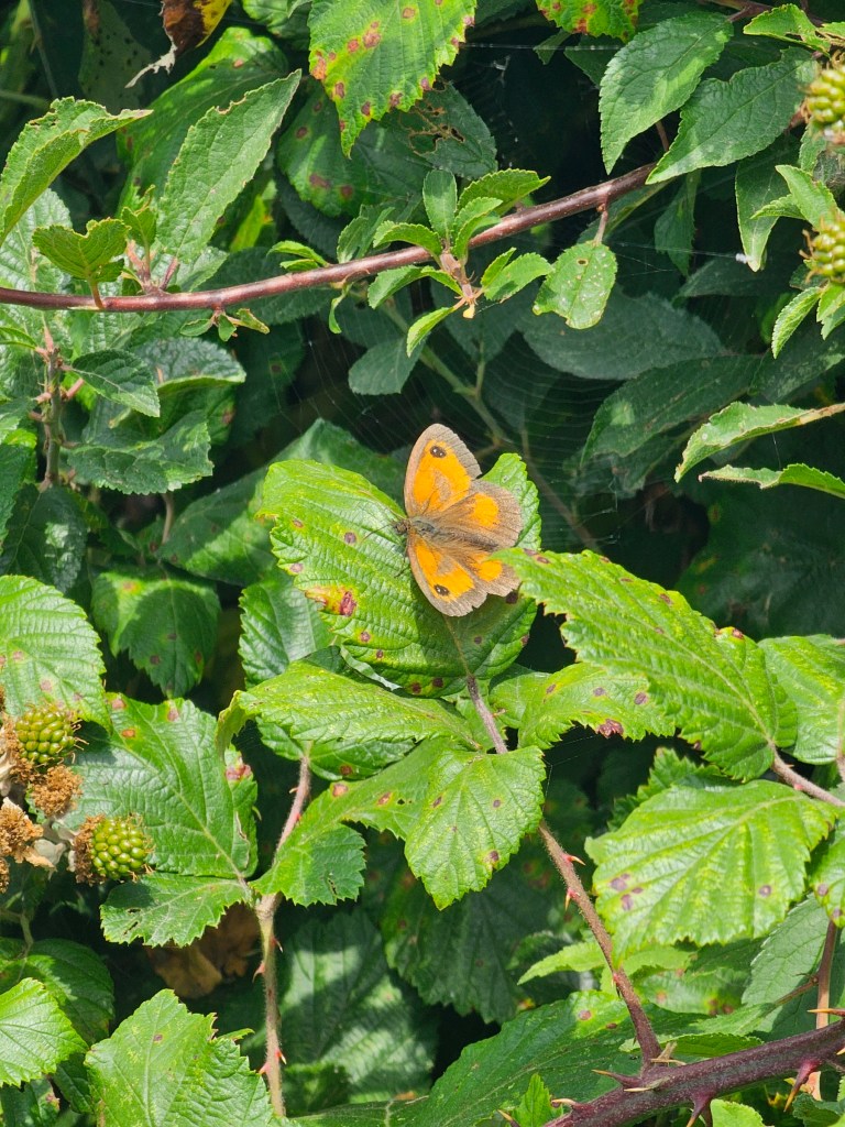
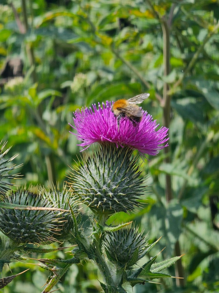
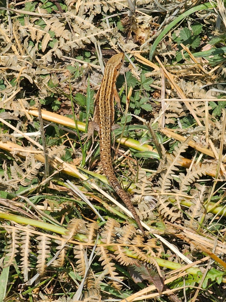
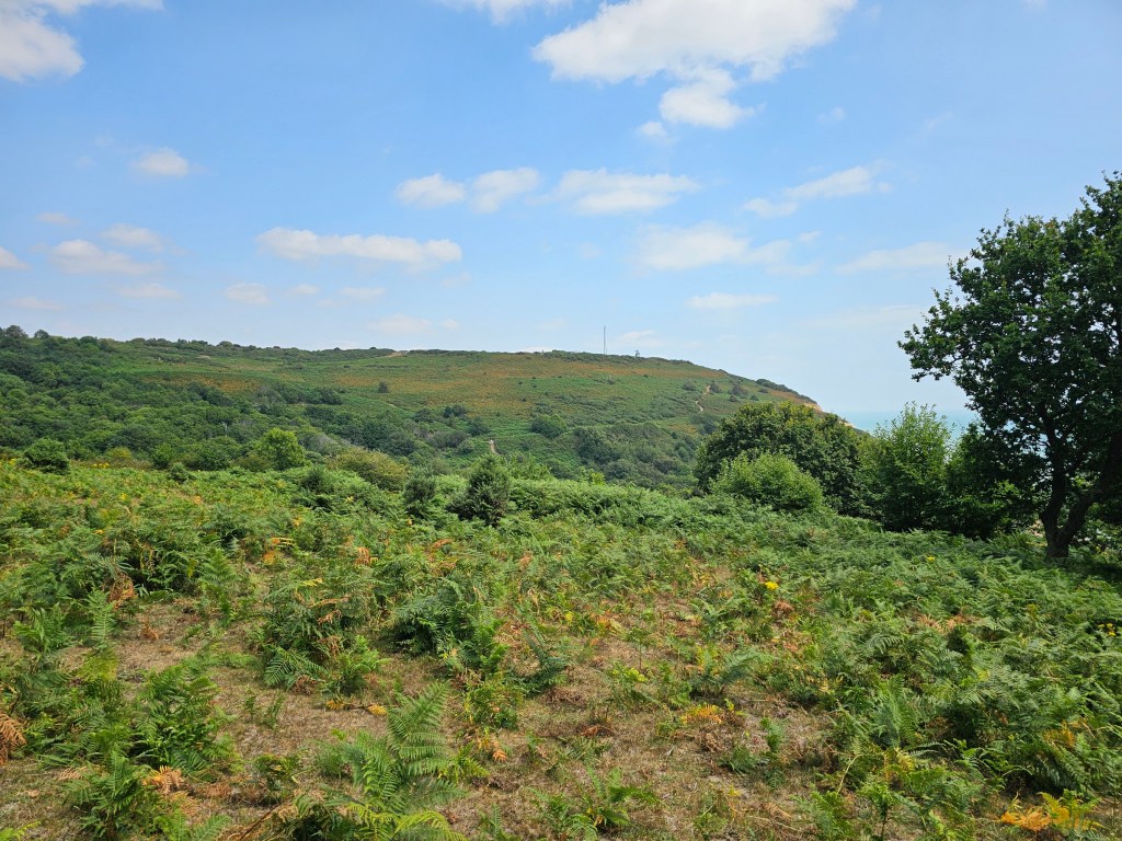
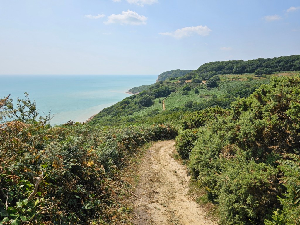
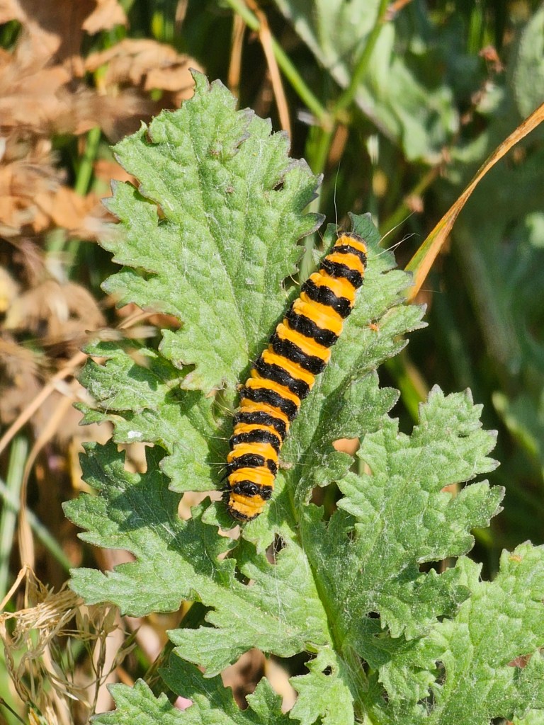
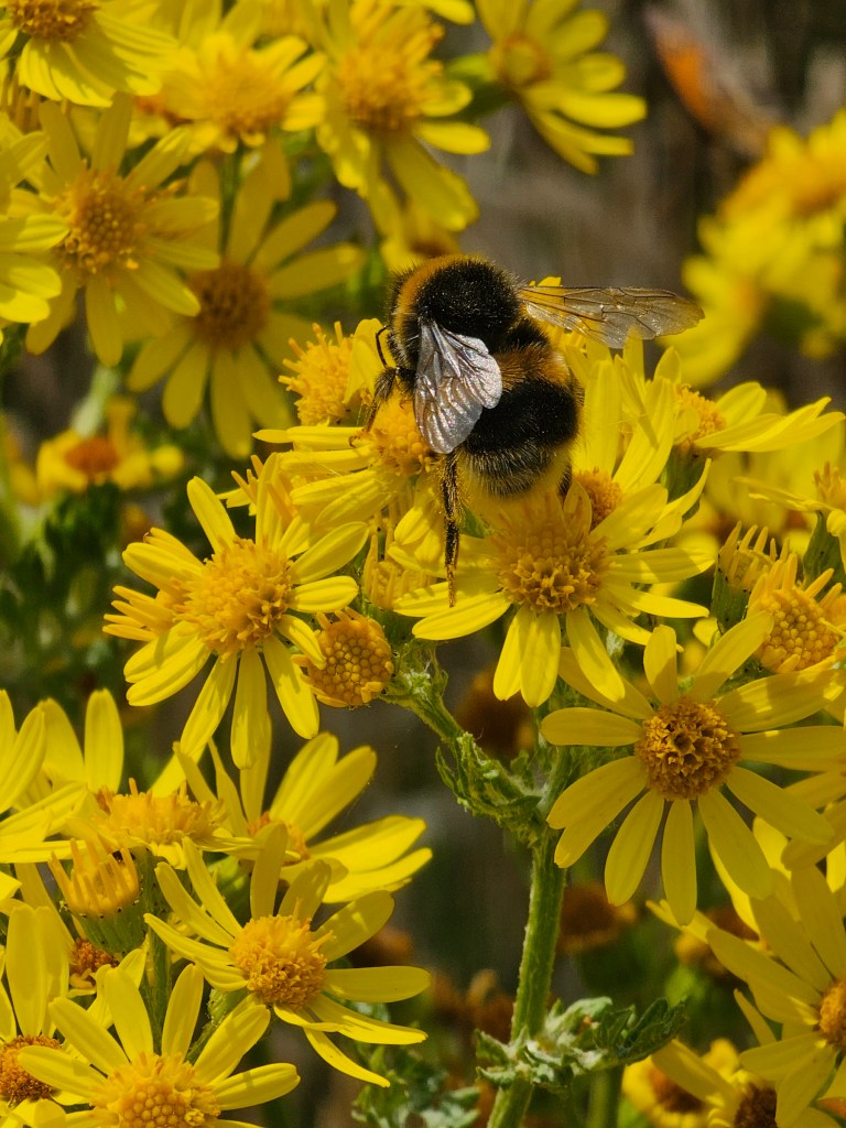
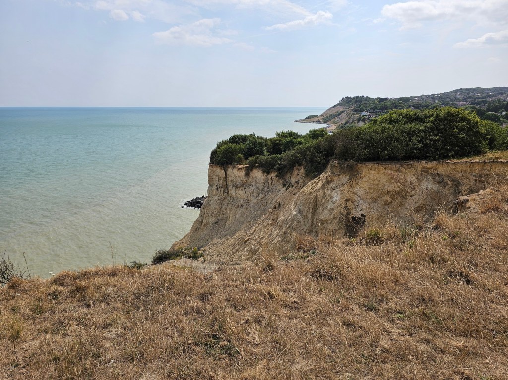
The next portion of the hike is fairly straightforward. All you need to do is follow the path along the top of the cliffs. The views are really good, so make sure to look around. I also enjoyed observing the wildlife during the walk. There were bees, butterflies, and even a lizard! I managed to take a photo of it before it disappeared in the bushes.
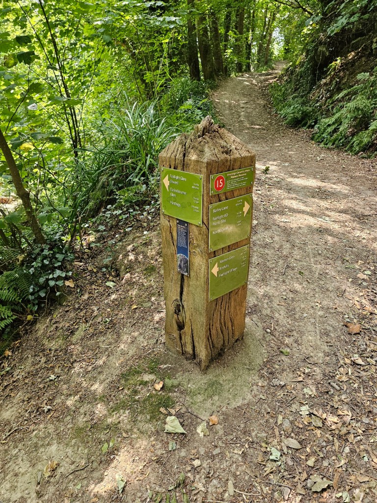
As the trail progresses, you can spot signposts at the crossroads. It’s always a welcome sight! It would have been a tiny bit easier if I’d known where I was planning to go, but – with some help from Google Maps – I was able to figure it out.
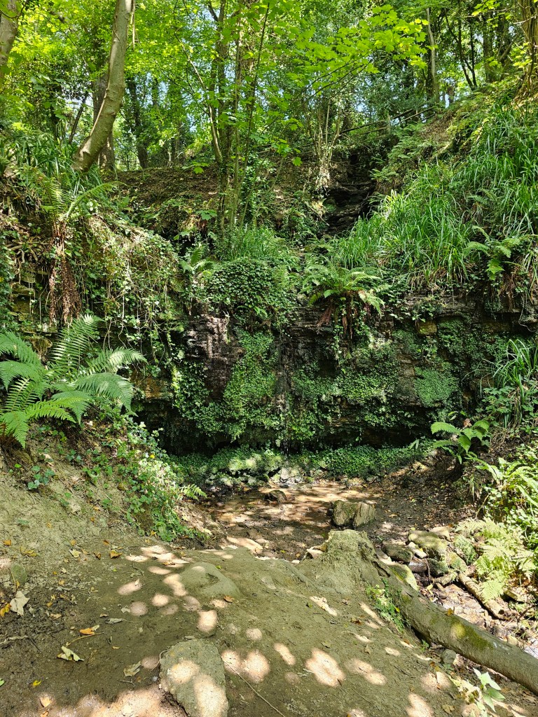
The main confusion came at the crossroads labelled as 15, where four different paths joined. I met another confused lady there and, after exchanging info about where we came from, we were able to figure out how to get to our destinations. Also at the same crossroads, there was a small path to the side, with some steps. I could hear some water, so I went to investigate. I found a cute little waterfall! There were lush ferns around it, and the place seemed magical. A nice little hidden gem, probably seasonal. I got lucky!
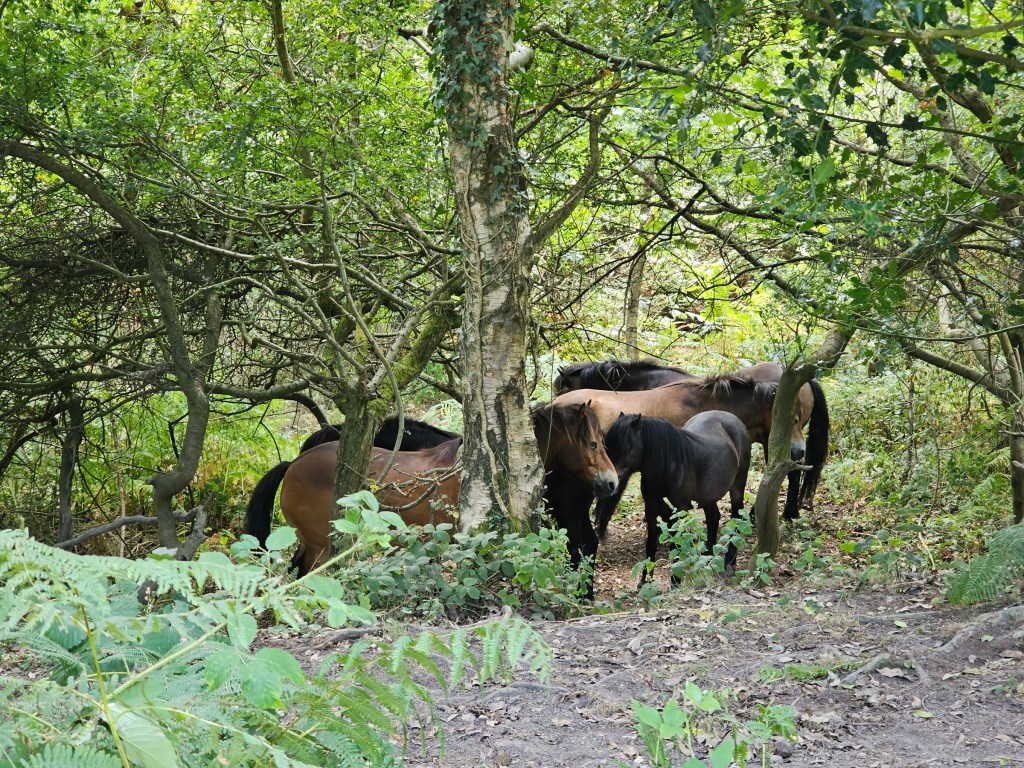
I continued my walk along the trail. This section of the hike felt endless! I had done that walk in the past, but didn’t remember it as particularly long or tiring, but it was. I had my slice of cake secured in a box in my backpack, and I was desperate for a short fuel break. But in my head, I was ‘almost at the visitor centre’, so it wasn’t worth taking a break on the way. Eventually, I could see the visitor centre at the top of the hill, but I could tell that it would still take me a while to get there. What cheered me up was spotting some ponies hiding in the trees. I suppose it was a hot day!
By the way, in case you need a reminder… paths are signposted for a reason. I reached a crossroads from which I could see the visitor centre on top of the hill. The path forked. To the right, it went downhill, labelled as the coast path. To the left, it wasn’t labelled at all, but it seemed to go towards the visitor centre, so I chose that route.
Well, within a few minutes the path was completely overgrown, and I could see people coming from the opposite direction. Apparently, they had reached a dead end. Annoyed at myself, I turned back towards the official path. Lesson learnt! I was glad I only wasted about ten minutes total.
Finally, 2 hours 45 minutes after I left Hastings station, I reached the visitor centre.
A quick break at Fairlight visitor centre
Finally, I could enjoy my slice of tiramisu cheesecake! It was delicious, like all of the cakes from Hanushka Coffee that I’ve tried before. There are also toilets at the visitor centre, much needed on a long hike.
I considered getting an iced coffee, but I saw on Google Maps that there was going to be a cafe further along the route to Rye. I did, however, use the break to apply sunscreen. I’m writing this post whilst on the train back to London, and I can already tell that the sunscreen wasn’t enough. Sigh.
I didn’t spend much time at the visitor centre, I had a long way ahead of me.
From Fairlight visitor centre to Pett Beach
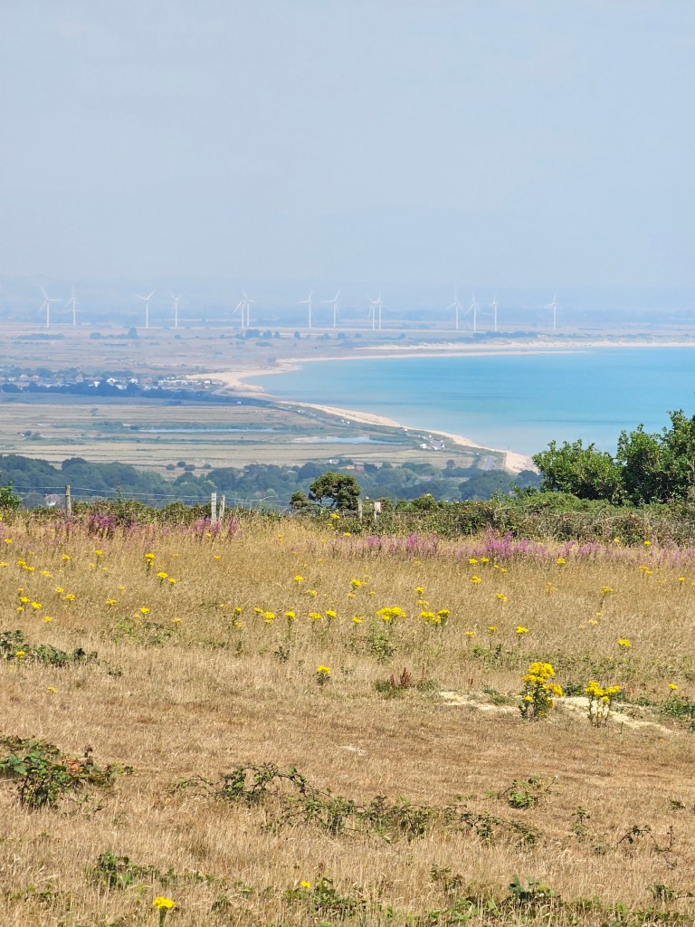
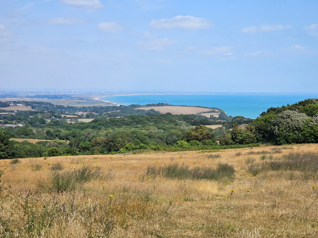
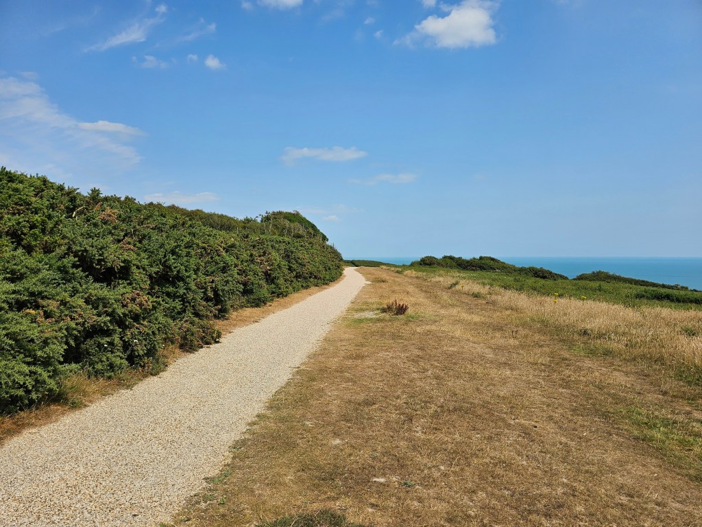
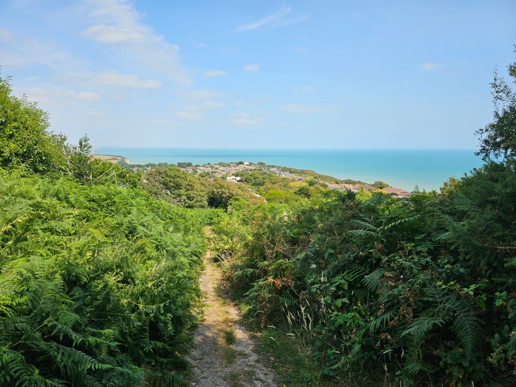
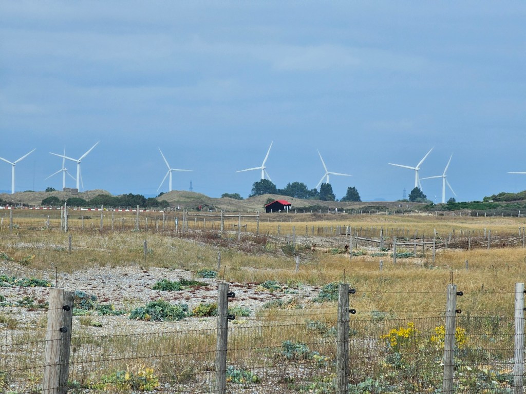
Once I left the visitor centre, I continued following the coast path. At that point, it was difficult to get lost. The path didn’t fork much at all, and it no longer ran through a forest. I could see my destination too. If you look closely, there’s a wind farm visible in the background of the photos. That’s more or less where Rye Harbour is. A long way to go!
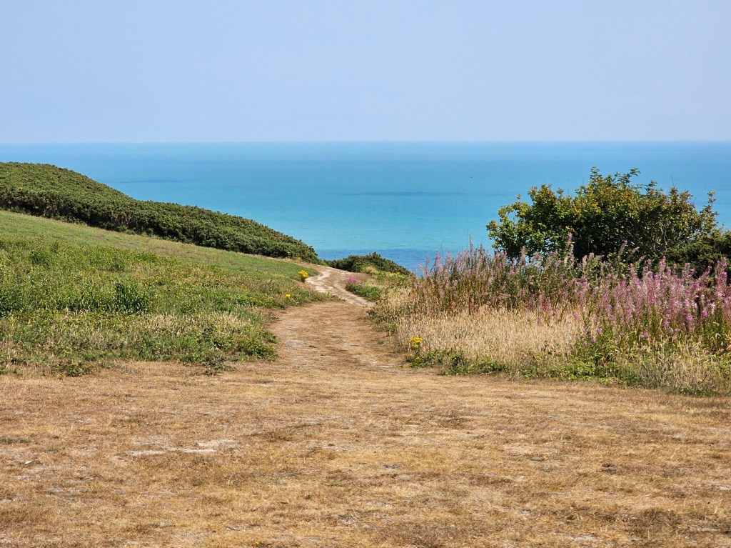
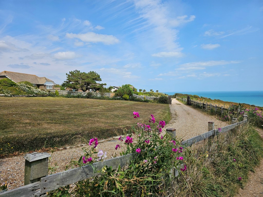
Fairlight village is a really cool place. During my previous hike from Hastings, that’s the farthest I got to. I try not to photograph private properties out of respect for the people who live there, so just took a photo with an overview of the path. On one side, private houses (pretty nice ones). On the other side, a perfect view of the see from the top of the cliff. It must be so fun to live in a location like that. I always wonder what kind of people live in such places.
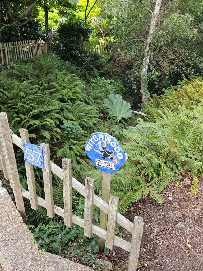
The section of the hike from Fairlight to Pett generally runs through a residential area, partially on an asphalt road, and partially through narrow footpaths between the properties. Overall, it was a fairly long section, but the village felt kinda magical… not just because one of the cottages was named Witchwood.
Beware of wild blackberries
Before we continue the hike, I need to share a bit of a horror story that involves blackberries.
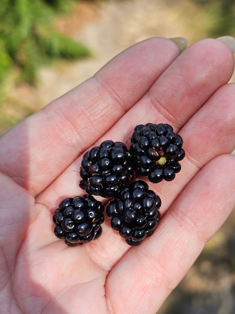
Throughout the hike, the path was lined with wild blackberry bushes. And in my experience, wild fruit during a long hike tastes so much better than store-bought! I resisted the temptation, in part because I don’t like spiders and most of the bushes were covered in webs. But eventually, I gave in. I saw a bush with some juicy fruit, and no spiders in sight.
I picked four blackberries. I ate the first one. I reached for the second, had a quick look… a tiny worm was sitting on it. ugh. Threw it away. Checked the next one… same story. Checked the last… another worm. Did I accidentally eat some extra protein with the one blackberry I ate? I will never know. But I think I’ll pass on wild fruit from now on.
Pett beach and beyond
As I was walking through the villages, I realised it was getting late. Admittedly, I started the hike much later than I usually do. It was only early afternoon, but I hoped to use the toilets in Rye Harbour Nature Reserve Visitor Centre at the end of the hike, and that closed at 4:30pm. And more generally, I hoped to have a longer break there. I even brought my aqua shoes to maybe dip my feet in the sea!
I looked at Google Maps and clicked on a random location near Rye Harbour, just to get an estimated walk time. Choosing a random location that was ‘roughly where I wanted to get to’ was a mistake, but more about that later. By Google’s estimate, I was going to get there at 4:30pm. Exactly the closing time of the visitor centre. I decided to turn up the pace a little bit, to beat the estimate by a few minutes. I knew that from Pett until the end of the hike, it was going to be a flat route at sea level.
I decided to spare a few precious minutes to get a coffee from a beach cafe in Pett, but after that: no more breaks! The route was flat, but a bit awkward to walk on. A narrow path on trodden grass, with some beach pebbles here and there. Still better than walking on the beach for sure!
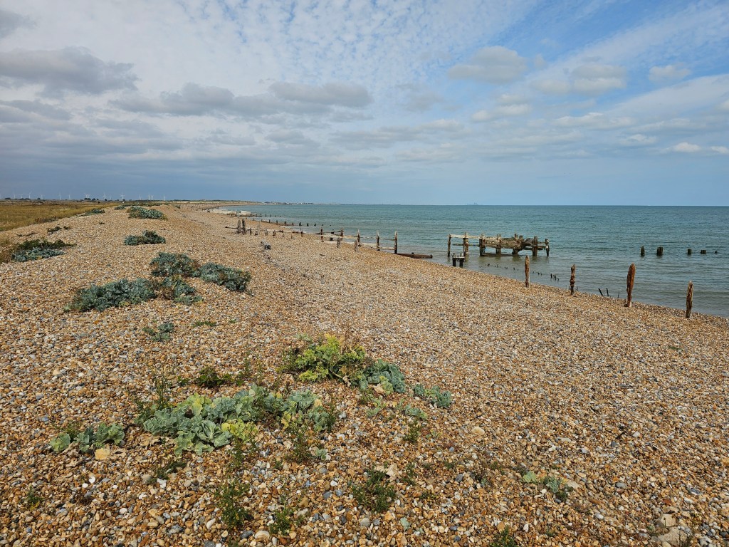
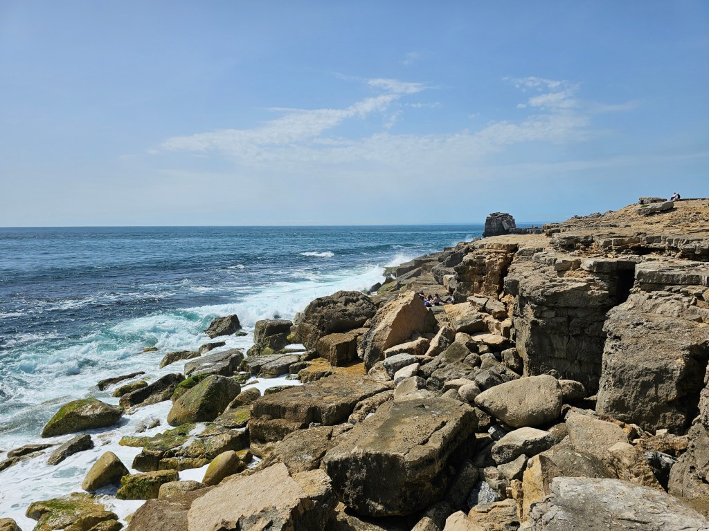
To the right, there was the beach and the sea. To the left, a somewhat busy road, and then vast fields with sheep and cows. No shade, though. It wasn’t the hottest of days and there were some clouds, but I still managed to catch some sunburn, despite wearing sunscreen. I wouldn’t recommend walking there in peak summer weather!
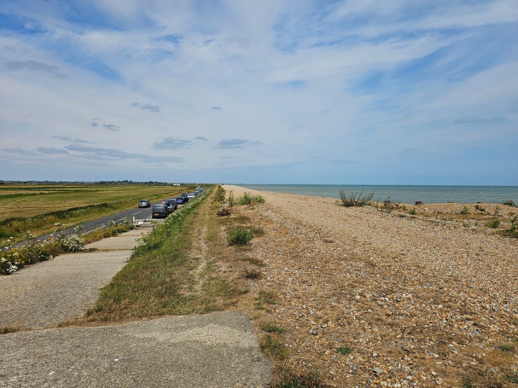
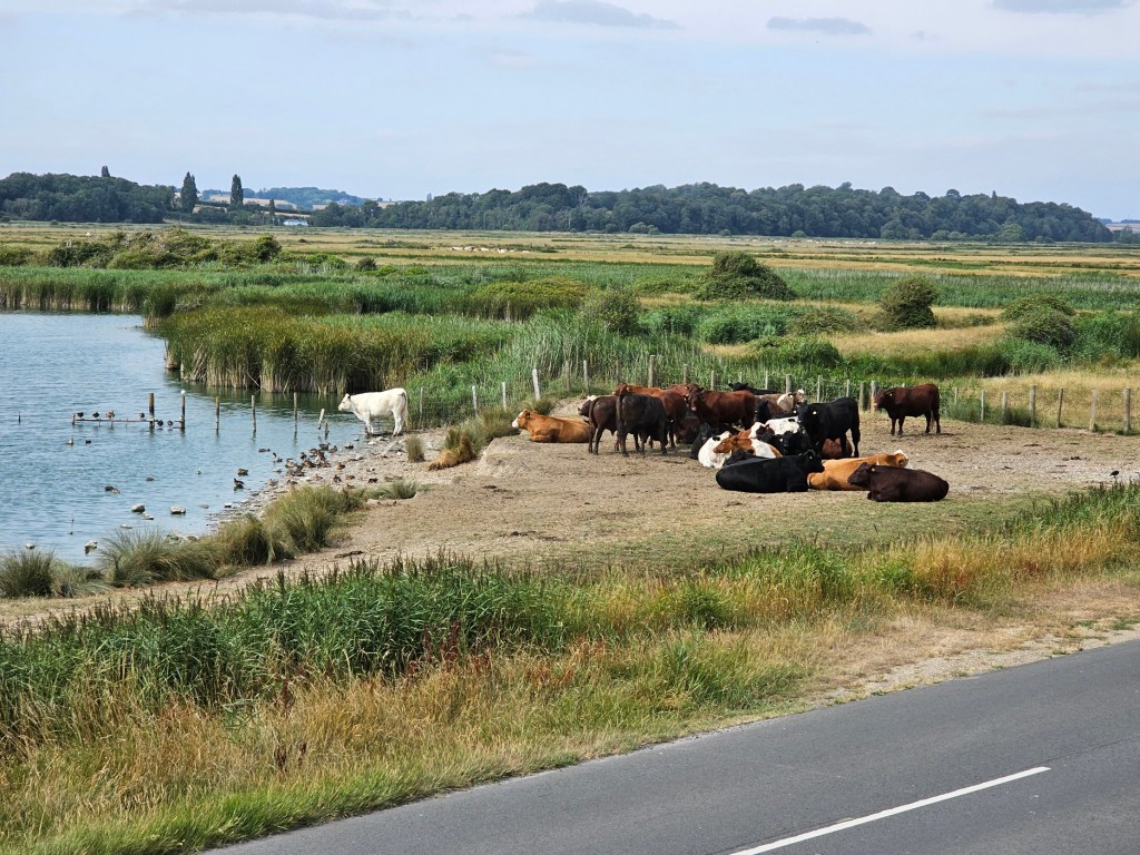
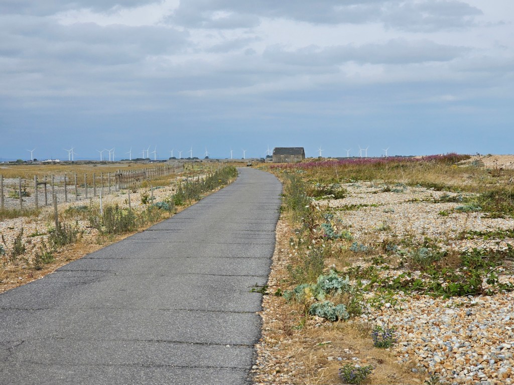
Once I got closer to Rye Harbour, the path ended and became an asphalt road, with no car traffic. I typically don’t love walking on asphalt during my hikes, but I chose it over walking on the pebble beach – that’s even worse, and much slower.
I checked Google periodically, and I was happy to see that my pace was significantly faster than the estimate. I made up some 10 minutes! It was exhausting to push myself to walk so fast with nearly 20 kilometres behind me, but I was determined.
And then, I realised my mistake. Remember when I said I chose a pin on Google Maps that was ‘roughly where I wanted to get to’? Well… ‘roughly’ isn’t good enough. The Rye Harbour Nature Reserve Visitor Centre was nearly 40 minutes farther! There was no chance I could get there before closing time.
At that point, I checked the trains from Rye back to Hastings, and the route to get to Rye train station from the nature reserve. It was around 95 minutes to get there, and there was a train leaving in 90. Trains from Rye to Hastings ran once per hour, and technically, I could have aimed for the next one – but it was during the Football World Cup, and I wanted to catch the evening game.
In my head, getting from Rye Harbour to Rye train station was 30 minutes, not an hour. Poor planning, again. Well, I decided to… keep walking fast and make up some time to catch the train. I was tired, thirsty, and hungry. And I needed the toilet too. Oh well.
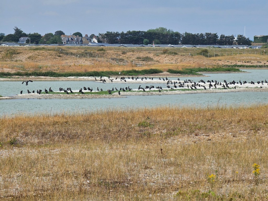
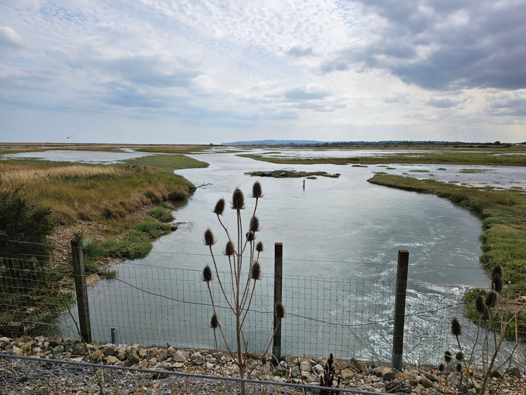
I didn’t have a chance to explore the nature reserve, which seems like a great place. I’ve been there before, but also had to rush it. I need to come back some time and spend a day there. I did get to see one pond full of cormorants, which looked pretty insane.
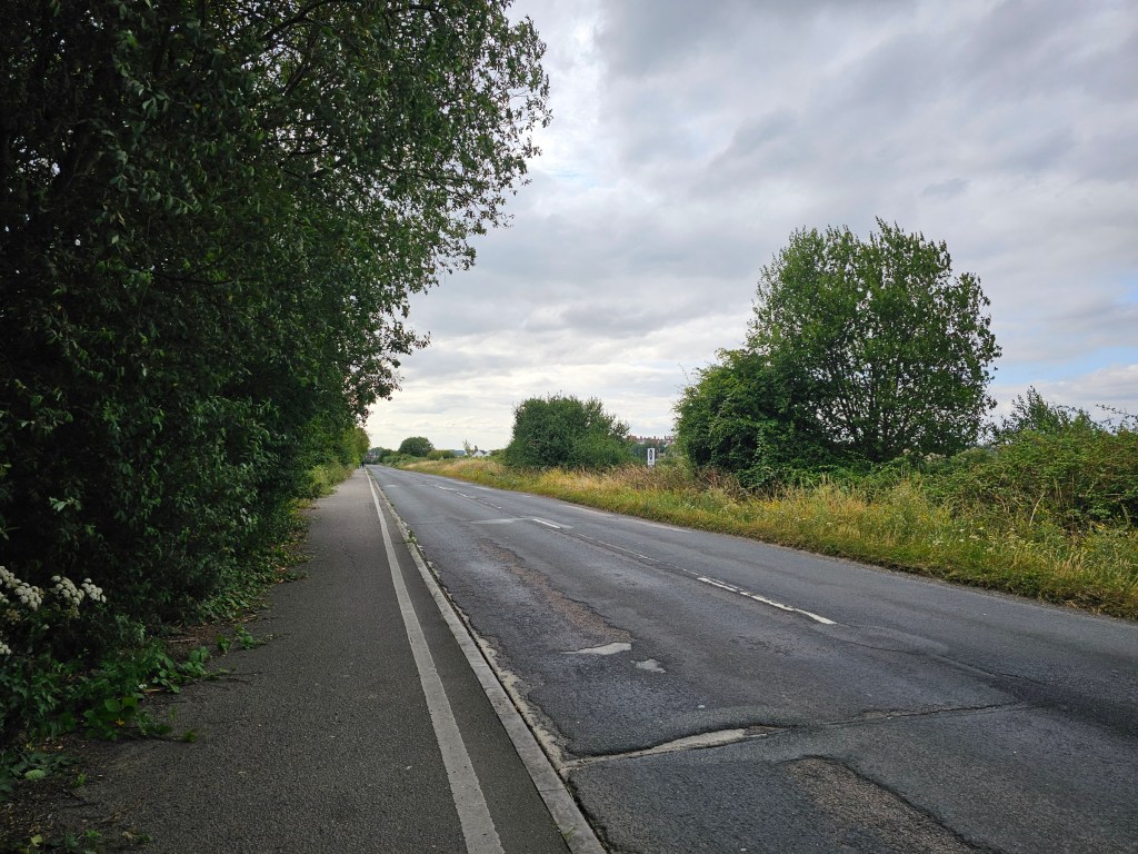
Rushing to catch the train from Rye, I just followed Google’s quickest path. Another mistake. It was an hour long walk along a busy road with industrial sites on both sides. It felt endless.
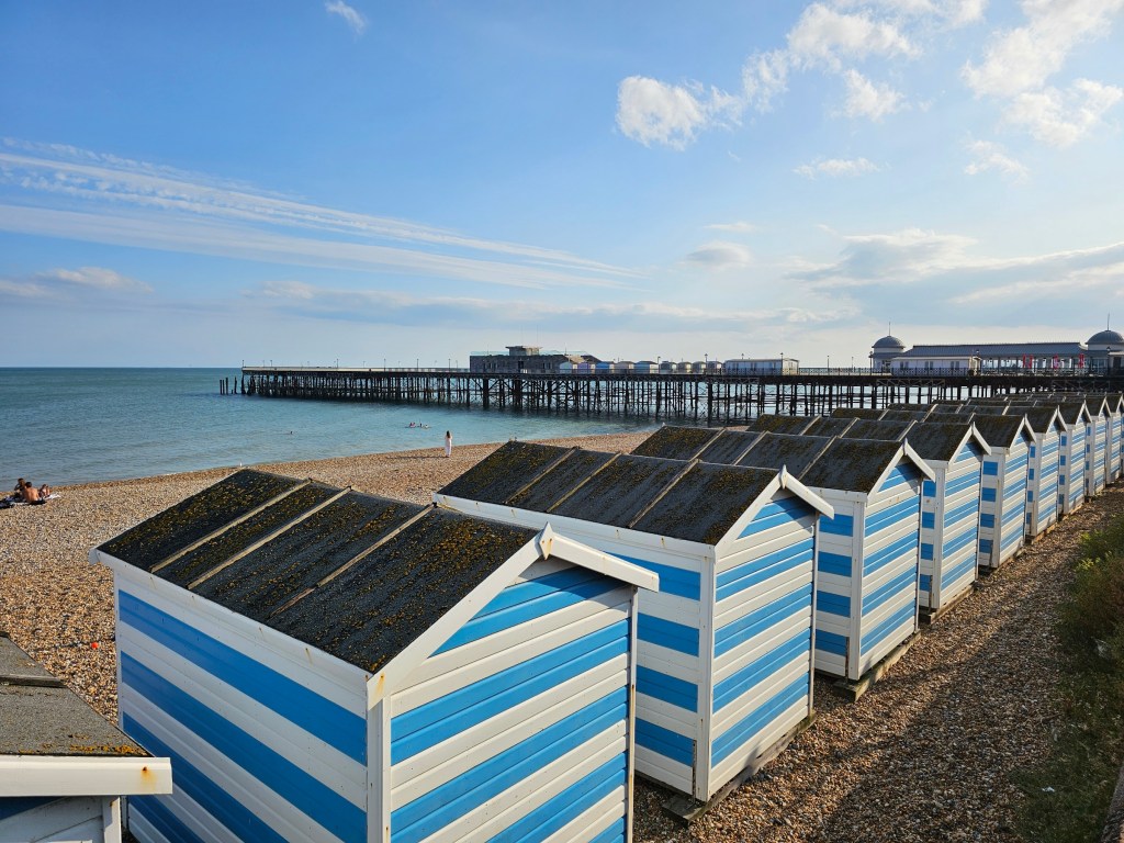
And when I got to Rye town centre, I found out that there was an alternative, parallel path, running through the nature reserve. I could have enjoyed sheep and meadows instead of the cars and industrial sites… Overall, I was relieved to see Rye train station. I caught my train to Hastings, where I had a short stroll along the beach before hopping on my train back to London.
Summary of the hike
My hike from Hastings train station to Rye station, via the English Coast Path, was 26.9 km long with 450m elevation gain (mainly between Hastings east cliff and Fairlight). It took me 6 hours 35 min. I should have planned my trip better. I would have enjoyed the hike a lot more if I didn’t have to speedwalk half of it!
Overall, my favourite part was the hike from Hastings east cliff to Fairlight. It’s a proper countryside/woodland walk with great views, wildlife, and some elevation gain. And a visitor centre with a cafe and toilets!
I also enjoyed Rye Harbour Nature Reserve, even though I didn’t have time to explore it properly. I still saw a lot of birds, and I can tell that it’s a great place for a day trip in itself. My least favourite part of the hike was the section between Pett and Rye Harbour. For about an hour, the view was pretty much unchanged, which got a bit boring. I also hated the walk from Rye Harbour to Rye station, but that’s entirely my fault. I’m sure the alternative path through the nature reserve is lovely.
And just like that, I completed another 20 or so kilometre section of the English coast path. Good day, all in all – despite the poor planning!
Also see:



One thought on “Hastings To Rye Harbour Hike – England Coast Path – Scenic Long Walk Day Trip From London”