Today, I have a treat for the long walk hike enthusiasts from London. And by ‘long’, I mean more than 2 or 4 hours. We’re talking nearly 35 kilometres, 1000 metres elevation gain, and probably about 8-9 hours. If that sounds good to you, you might want to save this post. I recently went to Box Hill in Surrey Hills and, using the official hiking trails as my baseline, I designed my own, extended version of a Box Hill hike. It includes all of the iconic, popular viewpoints, and adds some more. How about a hidden gem of Surrey Hills, a viewpoint from which you can clearly see the skyscrapers of central London? Keep reading to find out where it is!
Getting to Box Hill
As always, I took a train from London to reach my destination. A direct train from London Waterloo to Box Hill & Westhumble took less than an hour and cost me around £10 with a railcard for a return trip. It’s one of the cheapest train destinations for a day trip from London.
There’s a car park near the visitor centre at Box Hill, in case you prefer to drive.
From the train station to Box Hill Summit
If you plan to drive to Box Hill, scroll down to the next section.
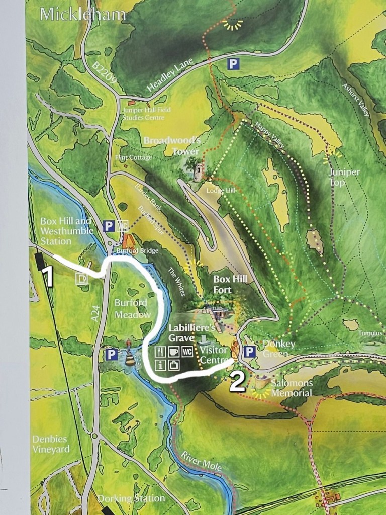
I left the train station, turned right, and followed the road until it merged into a busier one. On that junction, I used the subway to get to the other side of the road, then turned left, and then immediately right onto a meadow, where a footpath begins.
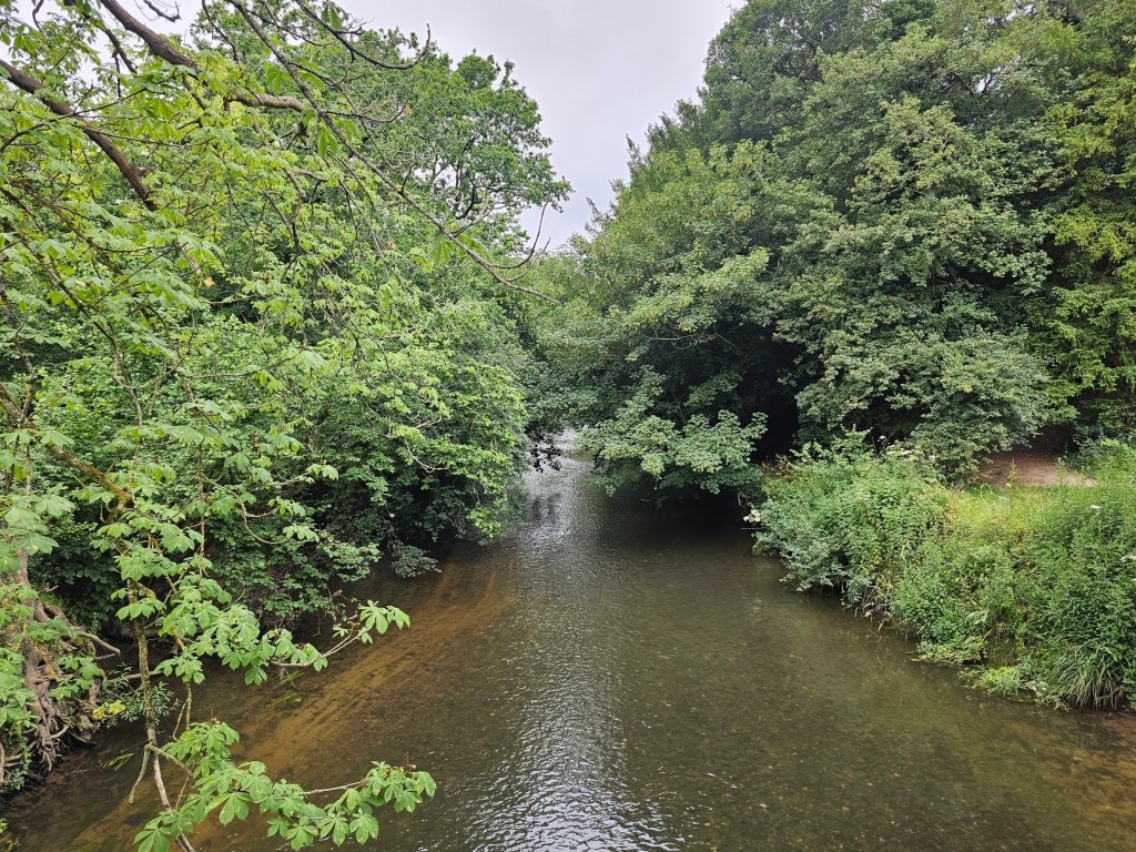
I followed the path and in just a couple of minutes, I reached a wooden bridge over a stream. There, you can make a choice. You can cross the bridge and continue along the path, or you can stay on the same side of the stream, turn right, and follow the river until you see stepping stones in the water – an alternative way to cross the stream.
It’s up to you! Both paths merge right after the stepping stones anyway. Personally, I took the stepping stones route several times in the past, and opted for the bridge this time.
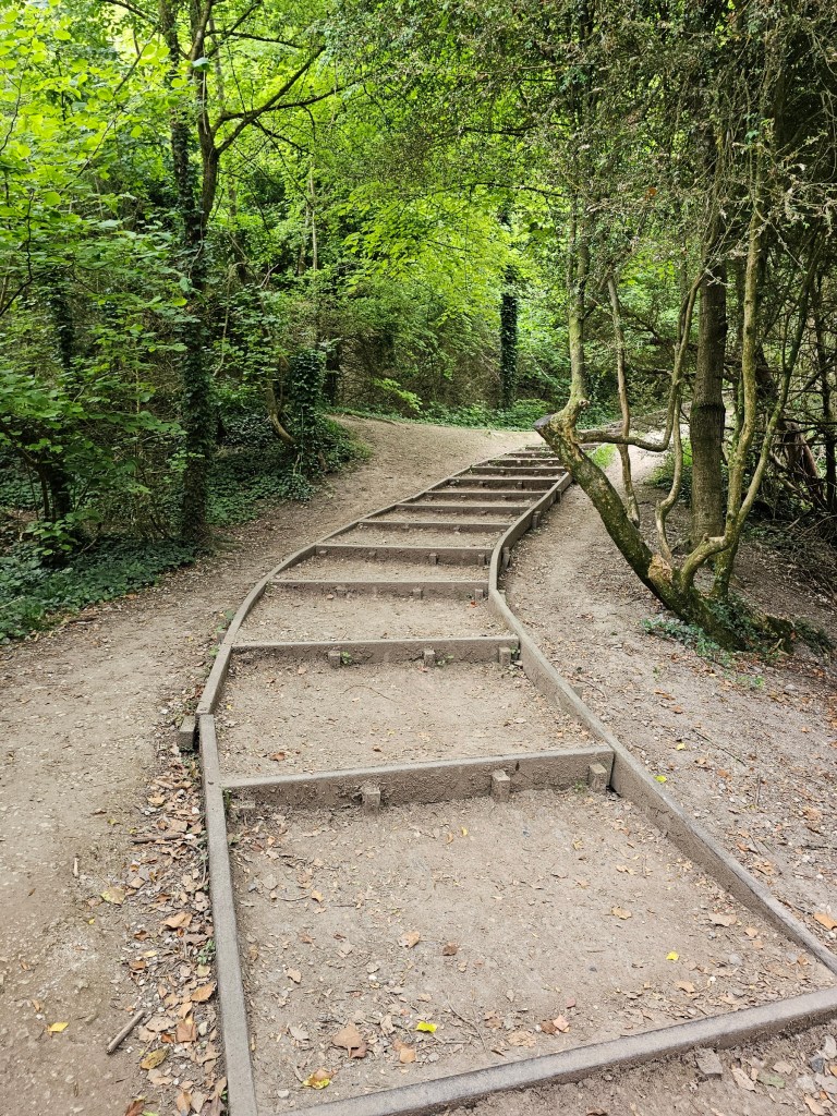
Once you’ve crossed the river, simply follow the path. You’ll see steep stairs going uphill through the forest. This part of the hike can be challenging, but the views are worth it.
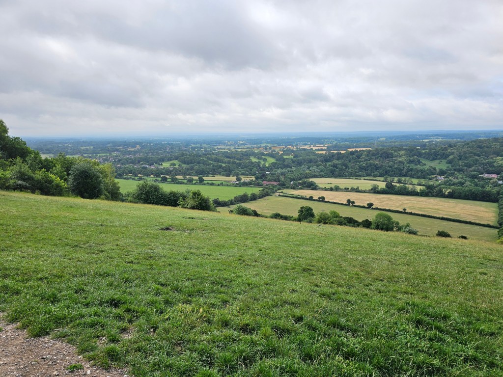
After about 20 minutes you’ll see the viewpoint on top of Box Hill. Go further uphill, and you’ll find the car park and the visitor centre.
Alternative start of the trail for those who drive to Box Hill visitor centre car park
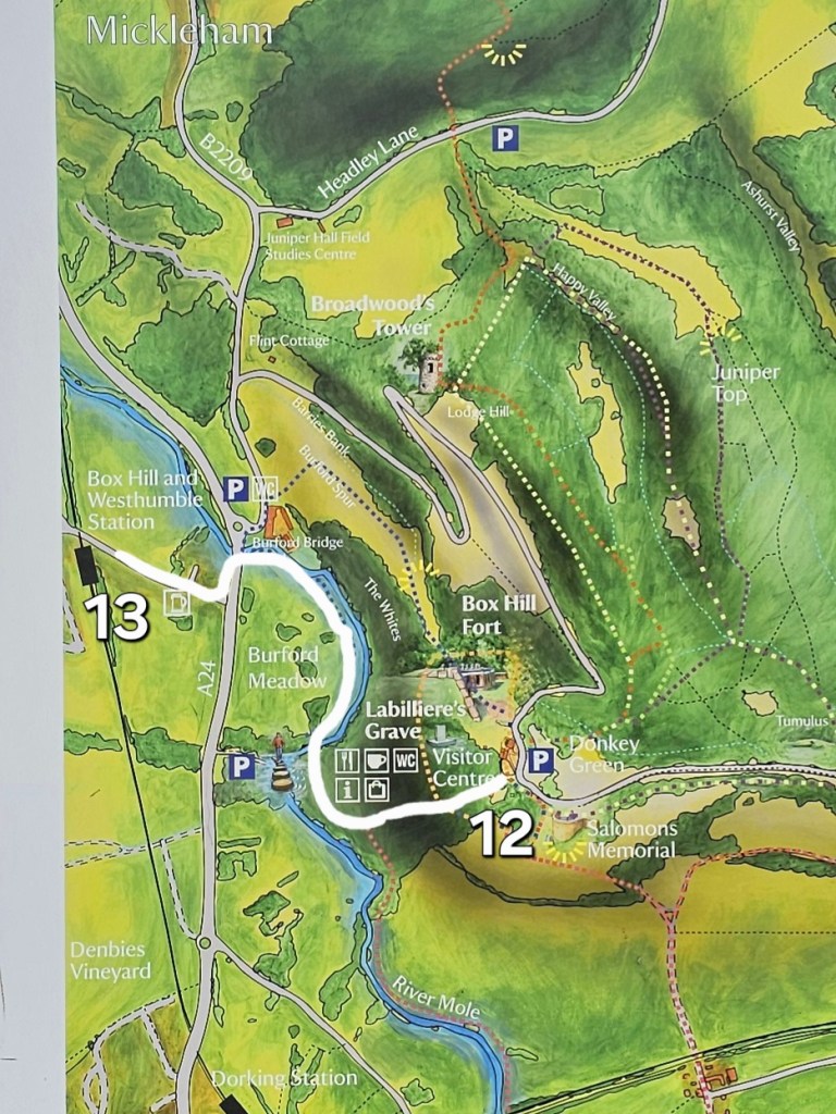
If you drive all the way to the visitor centre car park but don’t want to miss out on the steps, kilometres, and elevation gain, I suggest starting your hike by walking the official circular Stepping Stones trail, marked by signposts (you can check the large map across the road from the visitor centre). That trail pretty much covers the same route that you’d walk if you started your hike at the train station.
Box Hill visitor centre to Broadwood’s Tower
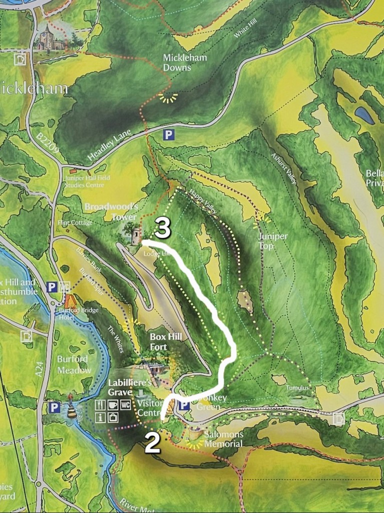
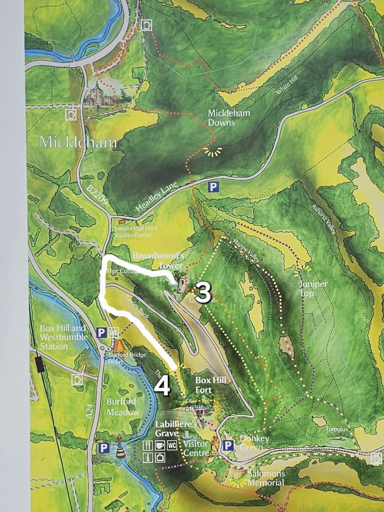
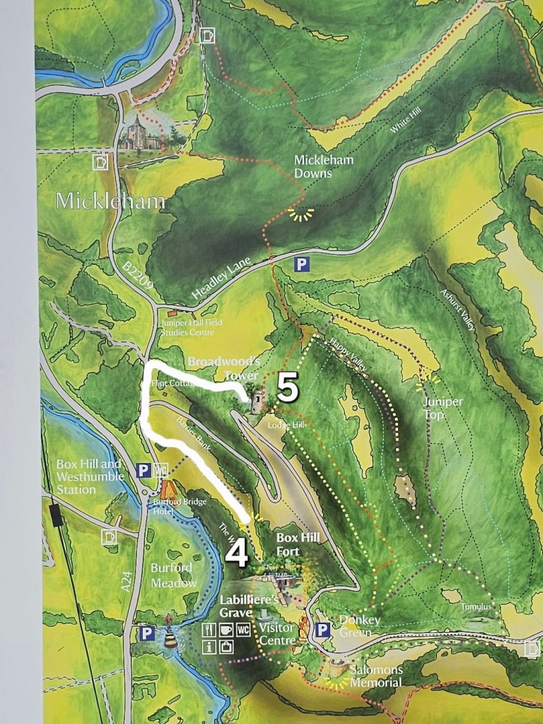
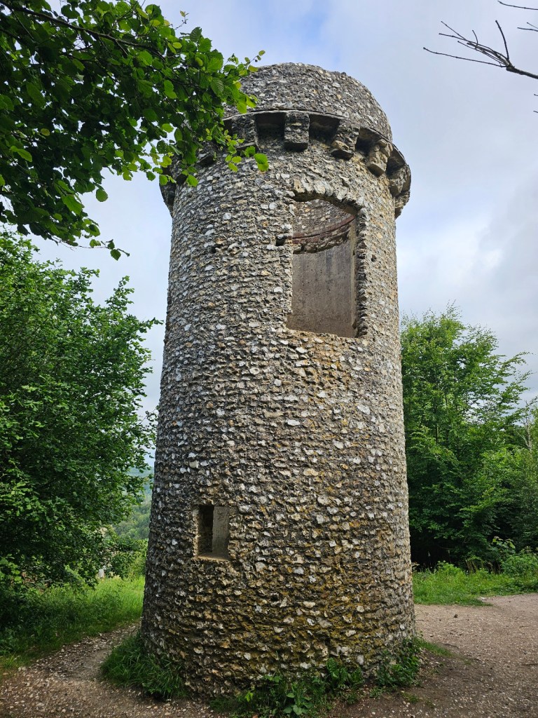
After a quick stop to use the facilities at the visitor centre, it was time to start the main hike. Initially, I followed the red markers for the official Box Hill hike, all the way to Broadwood’s Tower. Now, it was time for the first detour. Instead of turning right at the Tower, I walked straight, downhill. At the bottom of the small hill, I turned left I walked through the gate. Then, I continued walking straight.
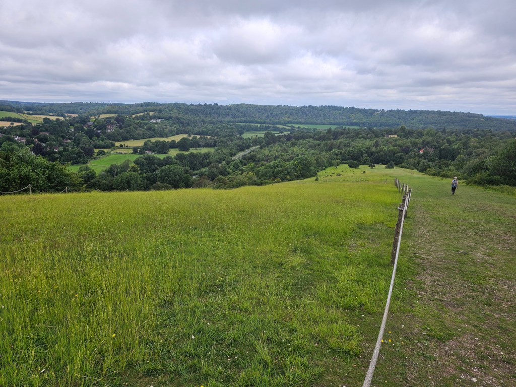
I passed some houses on the left, and the path converted to a narrow road. I kept going until I reached the junction with another, slightly busier road. I crossed the road (purely because the pavement was on the other side of the road), turned left, followed the road for maybe 30 seconds, and crossed it back to the other side. I walked through the gate – at that point, I was at the bottom of a grassy field. I followed the path to get to the top of that hill, where I took a moment to enjoy the views.
I took a bunch of photos and decided it was time to go back. Following the same route, I walked back to Broadwood’s Tower.
Broadwood’s Tower to Juniper Top
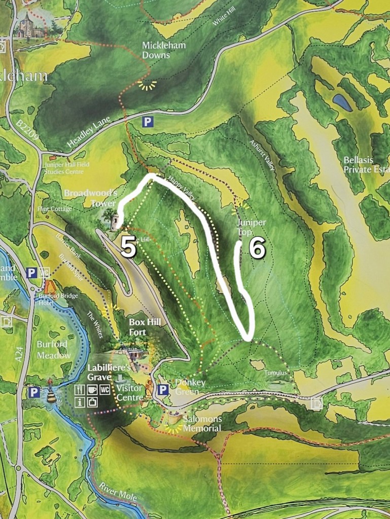
From Broadwood’s Tower, I continued the official Box Hill hike route: looking at the tower, with the hill that you just climbed behind you, the trail goes to the left.
I followed the path for a few minutes. The trail goes out of the forest and into an open space, via a set of pretty steep gravel, downhill stairs. At the bottom of that staircase, if you look ahead, you should see a post with two trail markers. Red, for Box Hill hike, goes left. Purple, for Juniper Top, goes right. This is where we start the second detour. Instead of following the red trail, we’re turning right, onto the purple trail.
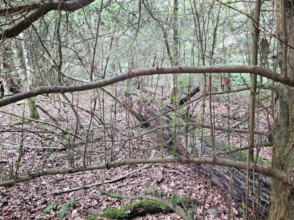
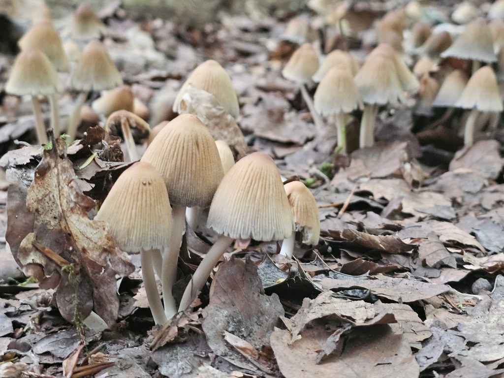
The gravel path goes into the woods, at a slight incline. After about 15 minutes, we reach a crossroads. Take the first left and continue the hike along the Juniper Top trail. Make sure to look around and search for nature’s curiosities. I saw some mushrooms, as well as trees with small branches growing perfectly vertically. I remember seeing them here in the past, but I’m always intrigued. I haven’t seen that anywhere else!
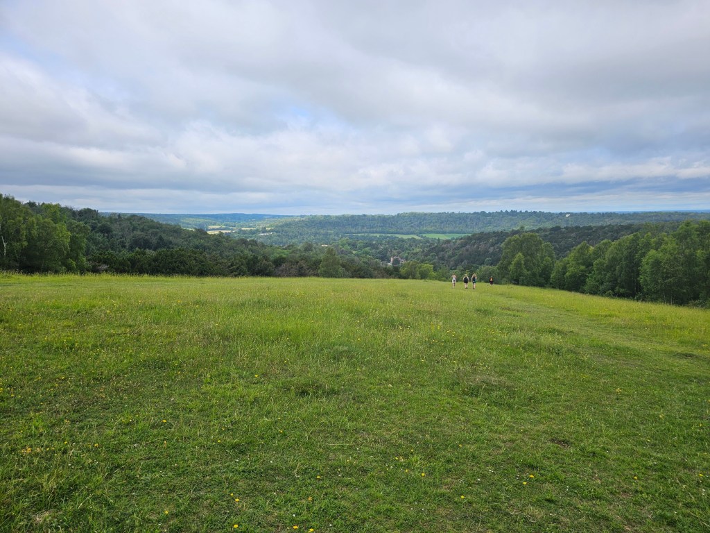
Eventually, we leave the forest and walk out into an open space, with a lovely view. There are two benches on that hill, and I always take a short break there.
From Juniper Top to Mickleham
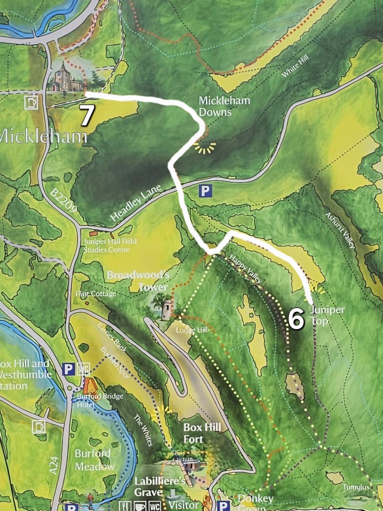
Once you’re ready to resume the hike, follow the path downhill. You should end up at the bottom of the stairs that you walked down about an hour ago. Having the stairs in front of you, turn right. We are now back on the official Box Hill path – detour number two is complete.
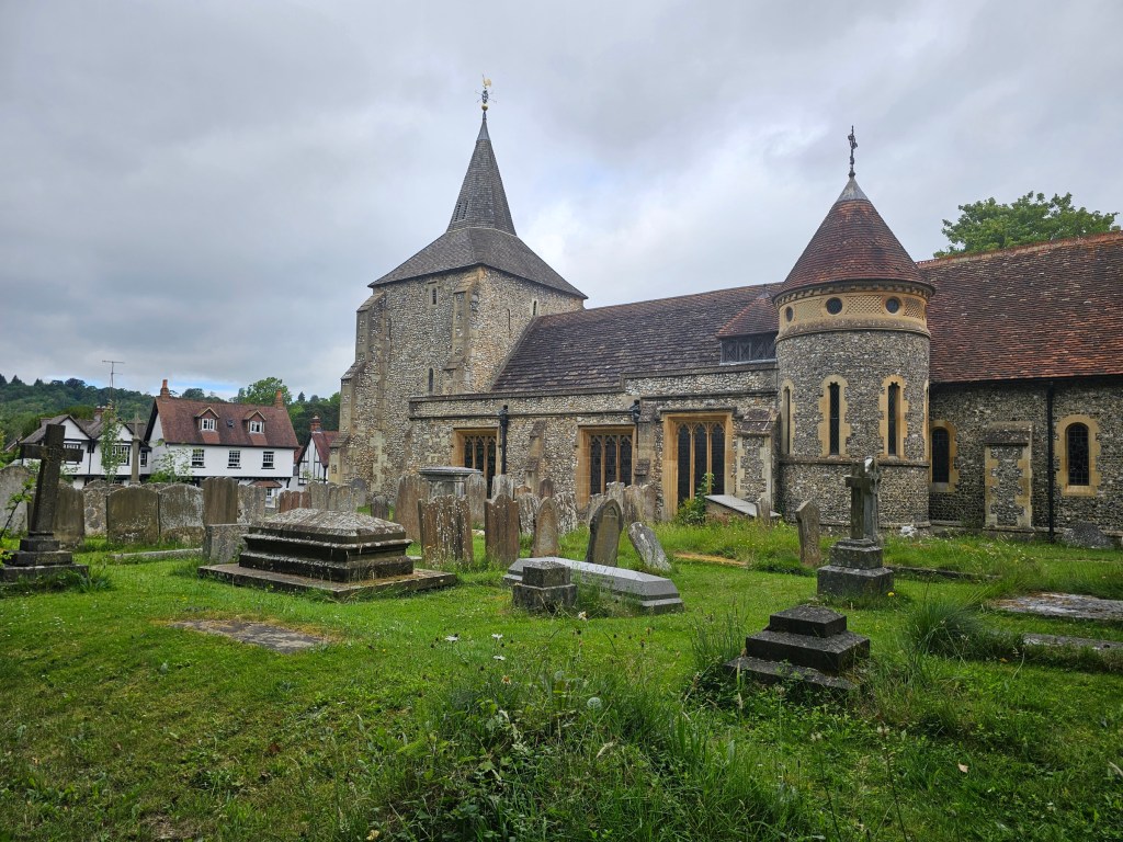
Following the Box Hill hike, we cross a small car park, then climb another steep staircase. Then, after a short woodland section, the path starts to go downhill again. At the end of that downhill section, there’s a small church with a cemetery, and Mickleham village.
You can get refreshments at the pub opposite the church, or even take a short break there. The Box Hill hike path continues at the side exit of the cemetery, but we’re starting the third detour instead. And it’s a long one!
From Mickleham village to Norbury Park
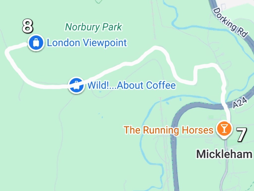
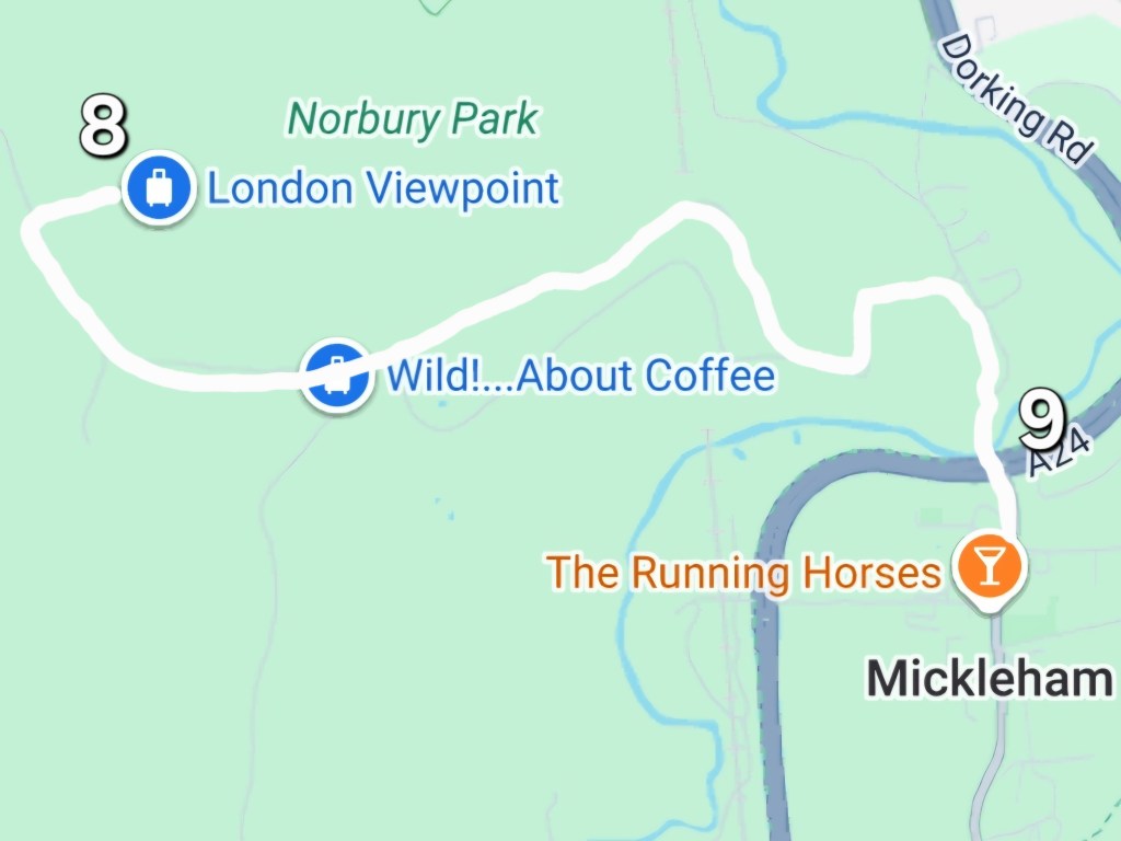
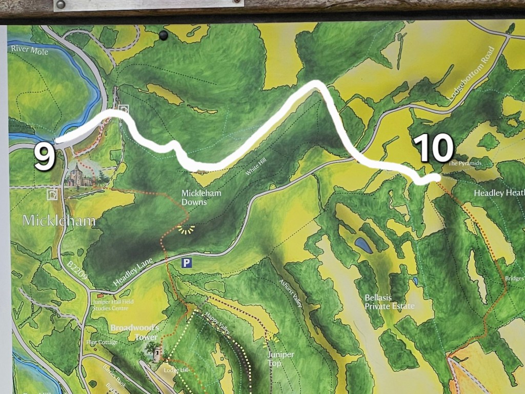
Standing between the church and the pub, with the pub in front of me, I turned right and walked along the road until the big junction. Now, here’s the tricky part.
I researched this detour on Google Maps and trusted Google Maps with the pedestrian route. In hindsight, I wish I had double checked it!
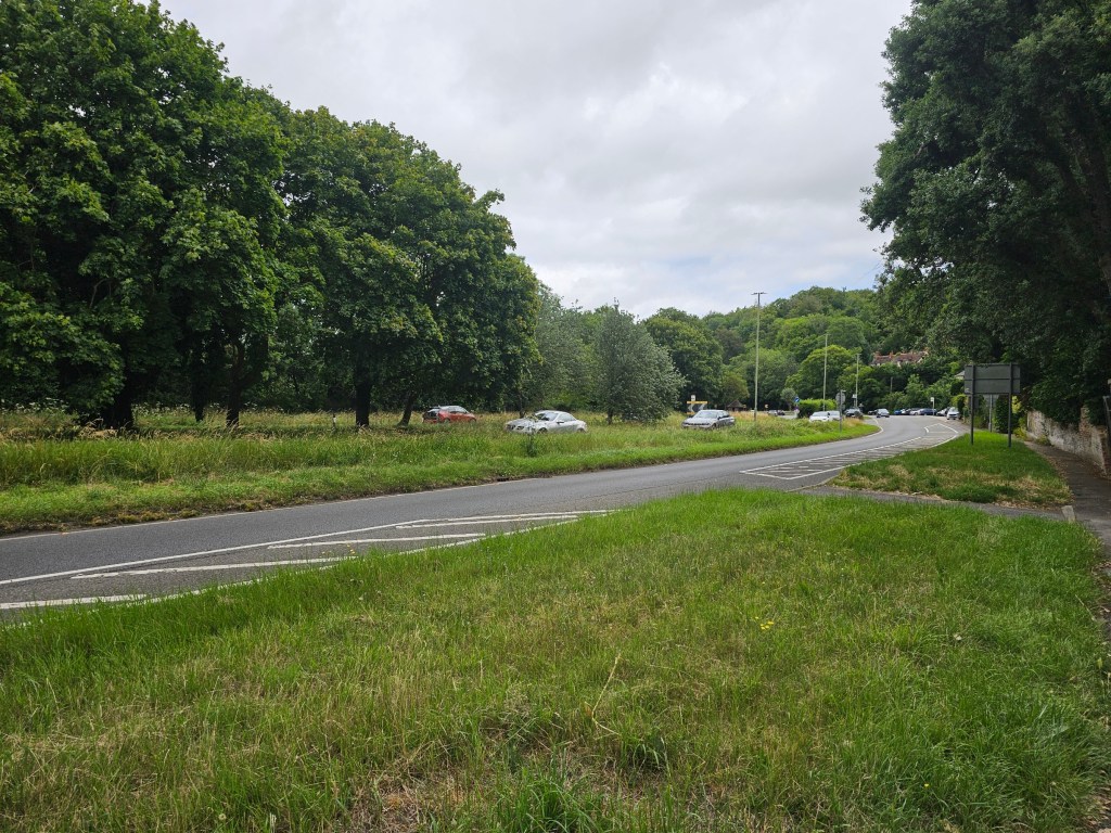
The quiet, village road reaches a much busier one – and Google Maps told me to cross it. But there was no zebra crossing, footbridge, or subway in sight. Ugh! Technically, it’s ‘just’ one lane in each direction, separated with a wide grass patch. But the traffic was pretty busy, and the cars were going fast. Frankly, I was conflicted. It certainly didn’t feel safe! I do not endorse doing that, but I decided to take the risk and cross the road, having seen other people do it too. Make sure to use your own judgement, though.
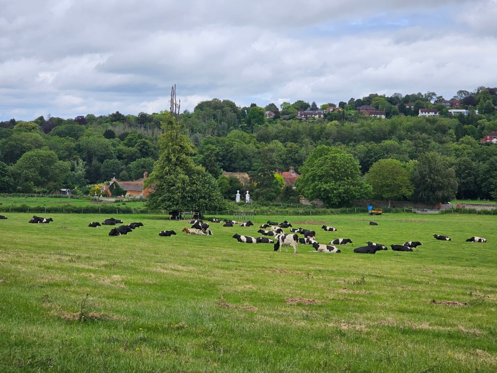
Once I crossed the road, I was able to calm my mind by looking at dozens of cows on the field. I followed the road around the field, which then turned into a footpath. I was heading towards wild!.. about coffee cafe. You can trust Google Maps with that route, more or less. At one point, Google Maps wanted me to walk through a private estate. Luckily, there was a path along the fence of the private area. I guess I wasn’t the first one deceived by Google Maps!
Side note: that private estate, from what I could see, includes a huge mansion (a small palace, really!), an even larger garden with a woodland area, and security guards at each of the entry gates. I’m really curious what kind of person owns it!
I finally got to the outdoor cafe and treated myself to an iced coffee. They had an open fire grill and the fresh bacon sandwiches were tempting, but I had a lot of snacks with me.
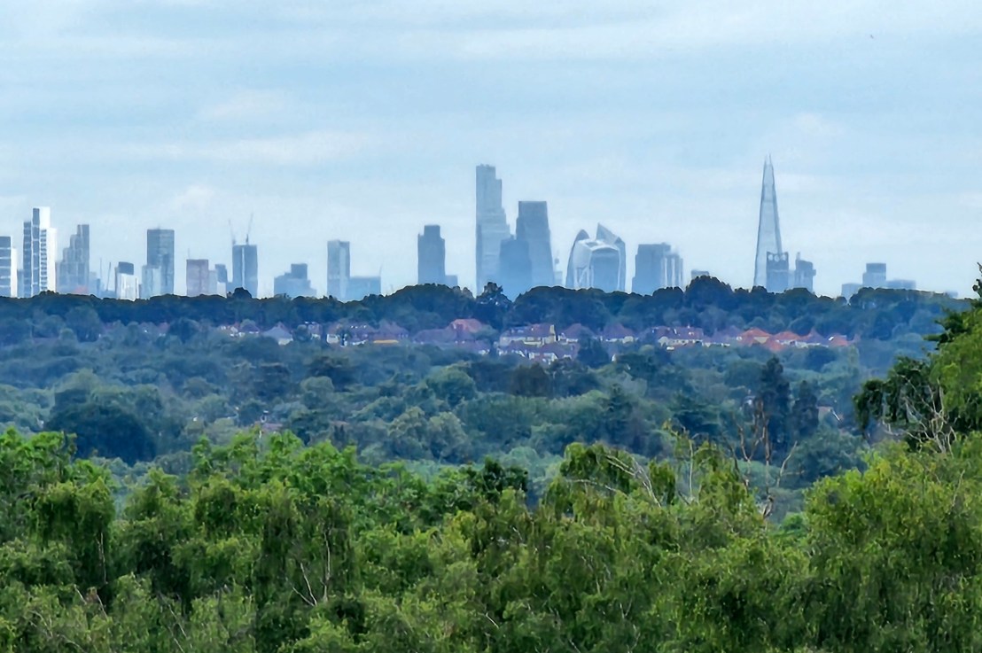
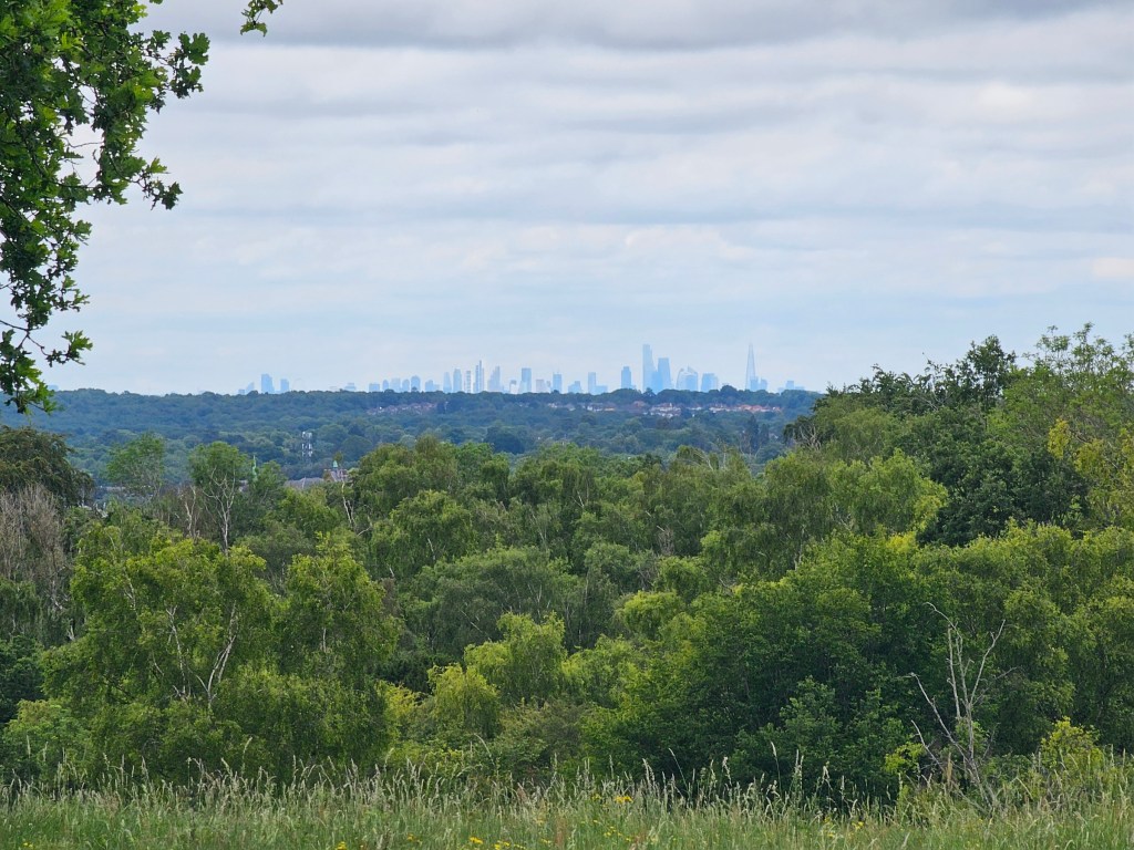
Fuelled with the coffee, I continued my journey by venturing further into Norbury Park. I was looking for a very specific place, marked on Google Maps as a London viewpoint. The path wasn’t obvious, but I managed to find that vista – and it was worth the search!
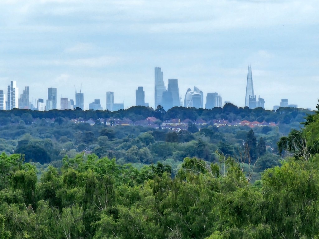
On the horizon, there was a clear skyline of London. It appeared as if the centre of London was built on a hill – the skyscrapers were clearly above everything else I could see. Zooming in on my phone, I was able to distinguish between the buildings. What an incredible new!
I spent a moment admiring the view, but didn’t want to waste too much time. I still had a significant part of the hike left ahead of me. Leaving the London viewpoint behind, I turned back and walked towards the cafe, and then back towards the busy road, which I now needed to cross again.
From the junction to Headley Heath
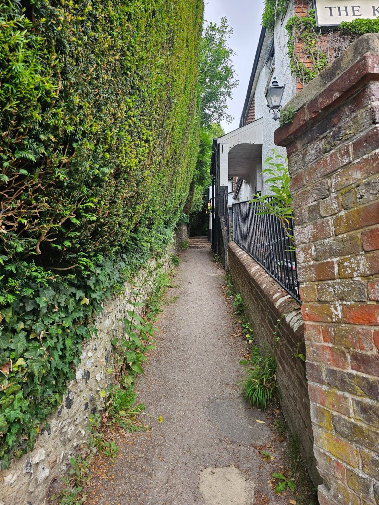
This time, I crossed the busy road slightly further east (it felt like a safer spot). From there, I walked towards the King William IV pub. Next to the pub, you’ll see a narrow path with steps that we need to climb. At that point, we’re officially back on the Box Hill hike.
We continue along the Box Hill hike for quite a while. A woodland path goes uphill, and you walk past a couple of wrecked cars. They’ve been there for quite some time!
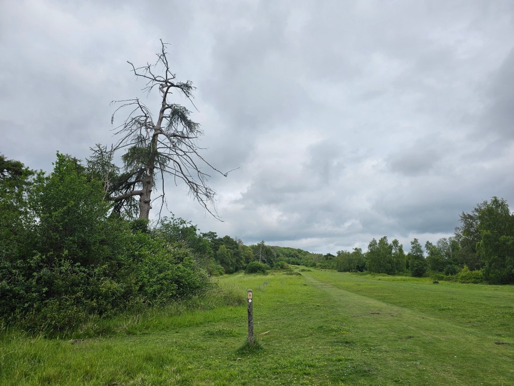
A few moments later, we walk out into an open space. Continue in a straight line, until you enter the forest again. Eventually, we walk through a gate, into Headley Heath.
Final detour – exploring Headley Heath
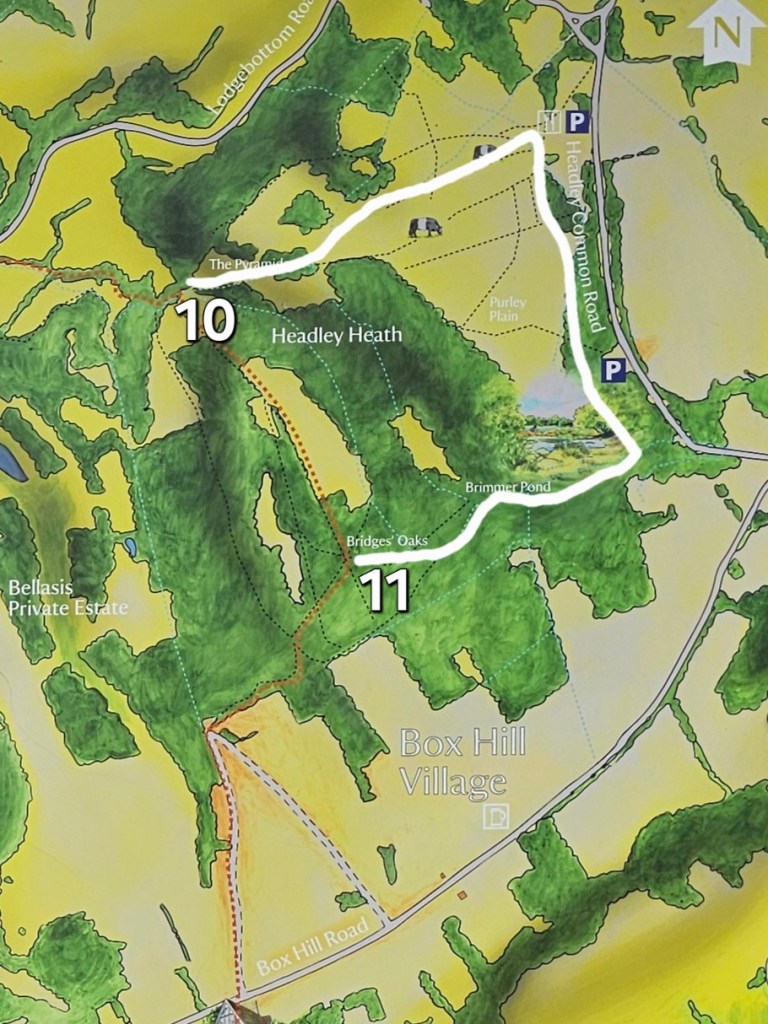
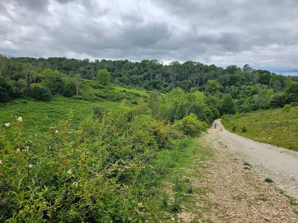
Once you enter Headley Heath, the Box Hill hike takes you onto a small hill through a set of steps. But instead of climbing the steps, we’re going on the final detour of the day. I decided to walk along the outer perimeter of Headley Heath, clockwise. But more generally, you can explore the area in different ways. There are many footpaths running through the heath.
Once I got to the south-west corner of Headley Heath, I was back on the official Box Hill trail. I left Headley Heath through the gate and continued along the route.
From Headley Heath to Box Hill Visitor Centre
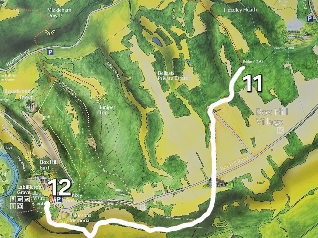
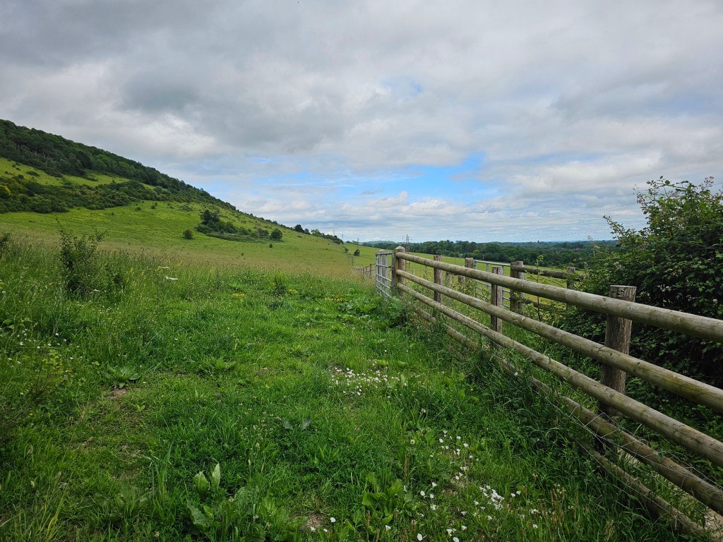
Once I left Hadley Heath, the official Box Hill hike route took me through a residential area of Box Hill. Walking along an asphalt road isn’t my favourite, but I actually really enjoy that area every time I’m there. There’s a lot of cute houses on that road. Feels like a really peaceful place to live.
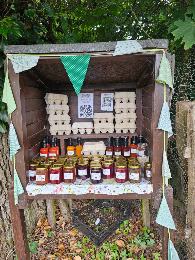
Whilst I was walking along that road, I spotted a little stand filled with homemade jams, eggs, and bottles of hot sauce, and a QR code for payment. I love that the seller has enough trust in the neighbourhood to just leave the products out in the public! To support the idea, I purchased a small jar of strawberry jam. I tried it the next day at breakfast – it was delicious!
I continued along the official Box Hill hike route, and soon, I was back to the Box Hill Visitor Centre.
Back to the train station
Once I got to the Box Hill visitor centre, I treated myself to a soft serve ice cream. After so many kilometres and hours of walking, it was well deserved!
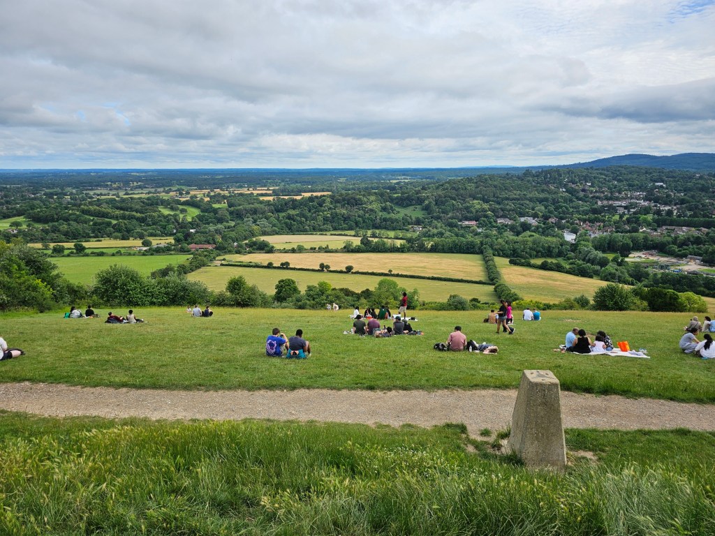
I enjoyed a short break with a view from the Box Hill viewpoint, then used the facilities of the visitor centre and refilled my water bottle – there’s a drinking water fountain there. Then, it was time to head back.
I walked towards the stepping stones, down the same path I took in the morning. Skipping the actual stepping stones in favour of the footbridge, I crossed the river, and headed back to Box Hill & Westhumble train station. From there, I took a train back to London Waterloo.

Summary of the hike
My whole hike was 33.5 km long, with 1100 metres elevation gain. It took me around 9 hours to complete, including all breaks. It was fairly demanding, but really enjoyable. Only the part involving running across the busy road was dodgy, but I survived.
The circular walk from Box Hill Visitor Centre back to the same point (in other words, excluding the way from and to the train station) was roughly 28 km.
Also see: