Today, I’m taking you on an adventure I will never forget. I climbed Helvellyn, the third highest peak in Lake District, and the third tallest in the whole of England as well, sitting at 950 metres above sea level. And although I consider myself a seasoned hiker and have climbed plenty of mountains much taller than Helvellyn, it was a truly unforgettable experience… all thanks to the weather! Exposed to all elements, I spent half of that climb hoping that I don’t end up in the news that night… but, let’s start from the beginning.
Getting to Lake District by train
Living in London, I don’t need a car on a daily basis and use public transport every day. But whenever I plan a trip out of London, I wish I could drive! There are many great places to visit in Lake District, and many mountains to climb – including Scafell Pike, the tallest peak in England. Sadly, most of those places are pretty inaccessible without a car. One of the few towns that you can get to by train is Penrith. I happened to be in Manchester on a work trip, and decided to go to Lake District from there. You can get to Penrith by train from London too – that’s how I got back home afterwards.
I booked a hotel in Penrith and took a train from Manchester to Penrith on Friday afternoon.
Getting to Helvellyn from Penrith
I originally hoped to climb Scafell Pike, England’s highest peak, but had to give up that plan once I discovered that there’s no way whatsoever to get to the start of the trails with public transport. So instead, I chose Helvellyn – closer to Penrith, and with public transport links between Penrith and Glenridding, where the trails start. Buses aren’t super frequent, but they’re sufficient – look for lines 508 and 509.
I would have taken a bus… if it wasn’t for the weather.
The weather forecast for the day – the only full day I had in Lake District – was looking pretty grim all day, but the morning seemed slightly less horrible than the afternoon. The weather forecast suggested that the heavy rain would start around 11 am, and I wanted to time my hike so that I’m well on my way down when the rain comes.
But there was one issue. The first bus was leaving Penrith at 8:50am, arriving at Glenridding around 9:30am. Late. Too late. I assumed the ascent to Helvellyn would take around 2.5 hours.
Determined to actually climb Helvellyn that day, having spent money on the trains and the hotel, I decided to invest even more cash in that adventure… and look for a taxi. Luckily, there was a long list of local taxis in the hotel booklet, so I started calling. I must have called more than 10 different providers, trying to get a lift around 7am, with no luck. They were all either already booked, or working till late the night before. It was really frustrating!
As a last resort, I checked Uber. I didn’t even have Uber installed on my phone – I don’t like spending money on taxis, I always choose public transport. But this time, I was desperate. I didn’t have high hopes. I tried to use Uber in small towns in the past, when I was equally desperate, and usually, there were no drivers at all. But this time, I got lucky!
I used Uber’s prebooking feature and reserved a lift from Penrith to Glenridding for the next morning, 7:30 am, spending a fortune – £46, instead of α £3 bus fare. Can you tell that I was desperate to climb that mountain before the weather got really bad?
My Uber driver showed up on time the following morning, and I got to Genridding around 8am. I used the toilets at the Glenridding visitor centre, and started my hike.
Choosing the trail for Helvellyn – avoiding knife edges
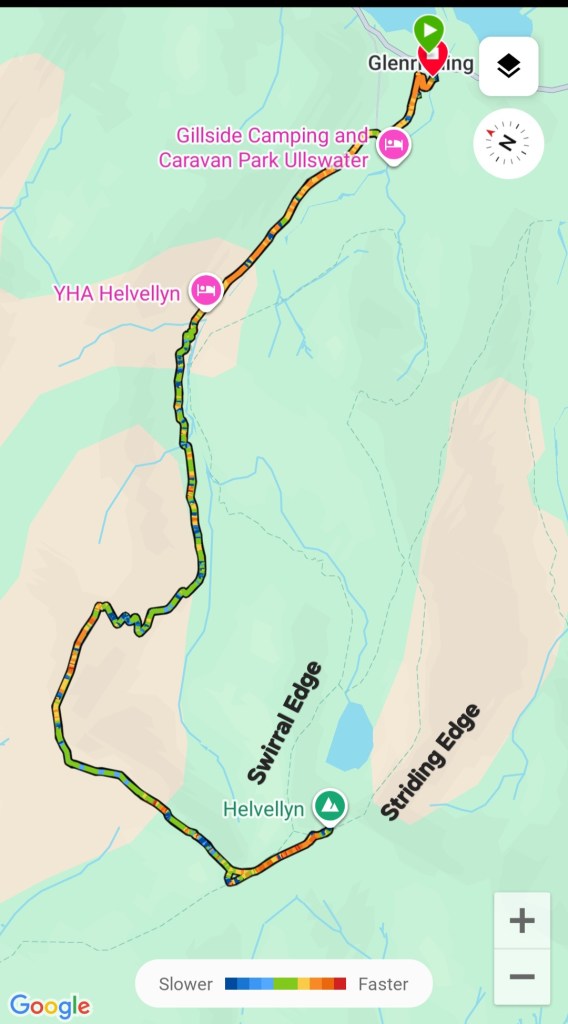
During the ride from Penrith to Glenridding, I had an internal debate over which trail to choose to climb Helvellyn. There are two famous knife edges leading to Helvellyn. A popular choice is climbing Helvellyn via the Striding Edge, and descending via the Swirral Edge. They’re both scrambling routes – highly exposed, with technical difficulties which require a head for heights, and using all four limbs. I consider myself a seasoned hiker, and I’ve completed scrambling- like routes. But I’ve never seen the edges of Helvellyn with my own eyes, and pictures/videos often skew proportions. I was really tempted by the edges, but seeing that the ground was already wet and slippery after the night’s rain, and knowing that more rain was expected, I decided to err on the side of caution. If you ask me, I believe that being an experienced hiker also means knowing when taking a risk becomes stupidity, not courage. I opted for the easy path from Glenridding to Helvellyn, via Glenridding Common and on the north side of Kepple Cove.
Easy start of the hike to the hostel from Glenridding
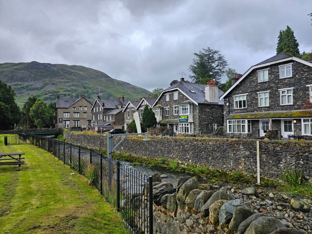
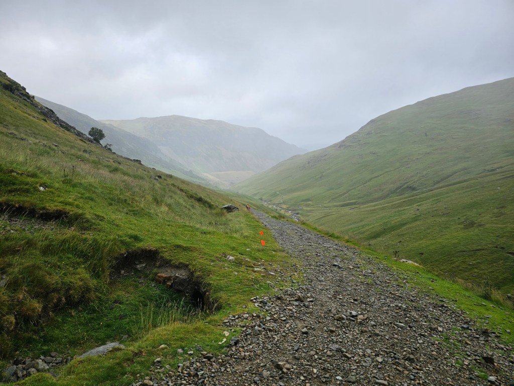
There are a few trails to Helvellyn starting in Glenridding, but having chosen to go via Kepple Cove, I headed towards the YHA Helvellyn Hostel at the end of Greenside Road. Until the hostel, the trail follows an access road, which isn’t ideal for me – I definitely prefer walking on more natural paths! Luckily, it’s not an asphalt road – you can walk on the gravel parts. There’s little to no traffic on that road – I think I only needed to let one car through.
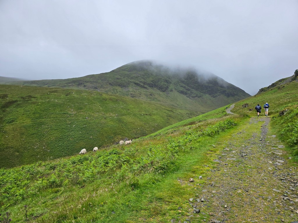
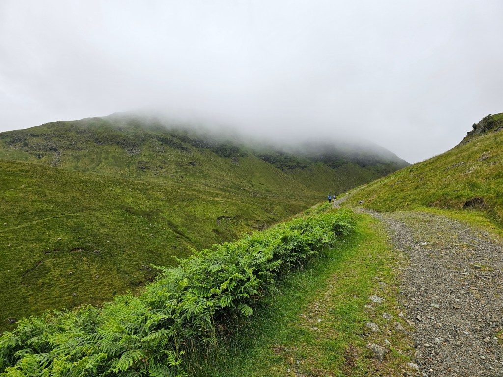
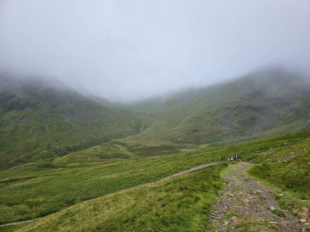
It wasn’t raining (yet), but the ground was wet and humidity was high. Looking at the mountains in front of me leading to Helvellyn, I could see… well, I couldn’t see, actually. The clouds were low, covering most of the peaks. I had already assumed that I may not have much of a view from the top of Helvellyn, but now my assumptions were basically confirmed.
From the youth hostel into the clouds
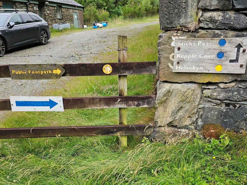
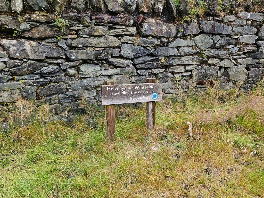
Once I reached the youth hostel, the path changed to a proper mountain trail – it wasn’t a road anymore! There was also a sign for Helvellyn, which is always nice to see on a hike. No need to wonder whether I’m on the right trail! The sign explicitly mentioned that the route avoids the two knife edges too.
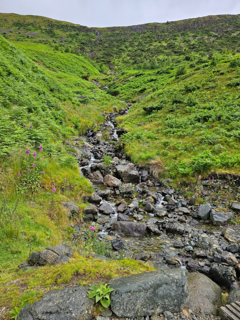
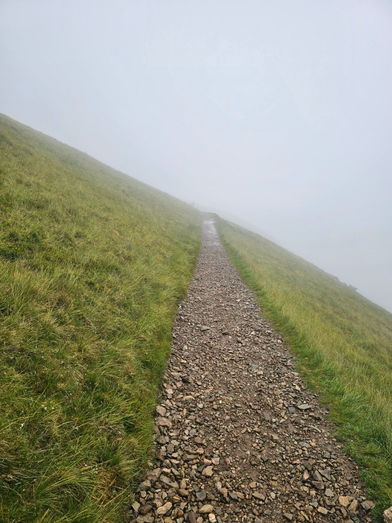
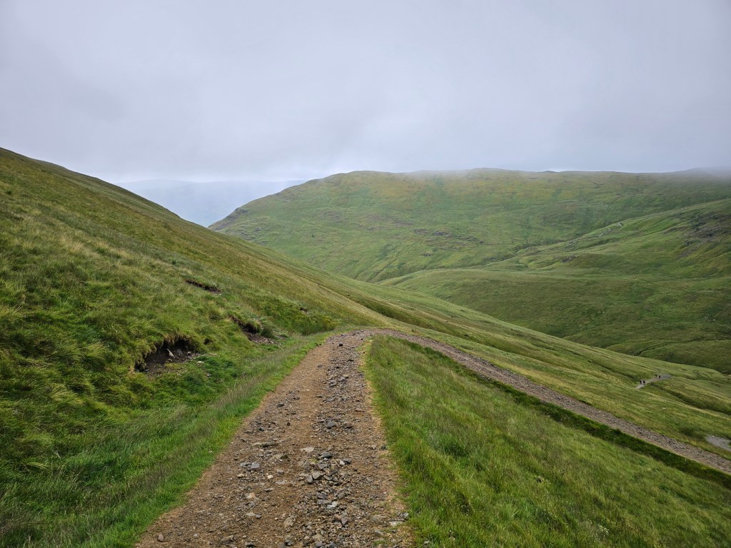
The gravel path was wide and even, but pretty steep. Easy to get out of breath! I was slowly making my way up, and I could see the clouds getting closer and closer. At that point, it also started to rain a little. I put on my waterproof jacket and continued the ascent. Soon, I entered the clouds.

Extreme conditions on top of Helvellyn
Planning my hike, I was mainly concerned with the rain, and lack of nice views. It never even crossed my mind that the main issue could be something else. This time, it turned out to be strong wind.
The wind gradually increased with altitude, and when I was around 30 minutes away from the summit – probably at around 800m above sea level – the wind became a real issue. I don’t mean just your regular wind with an occasional gust. I mean a continuous strong wind, as if someone turned on a gigantic fan and placed it on the side of the mountain on full speed. Every step was a battle to stay on my feet, and I was pushed around like a puppet.
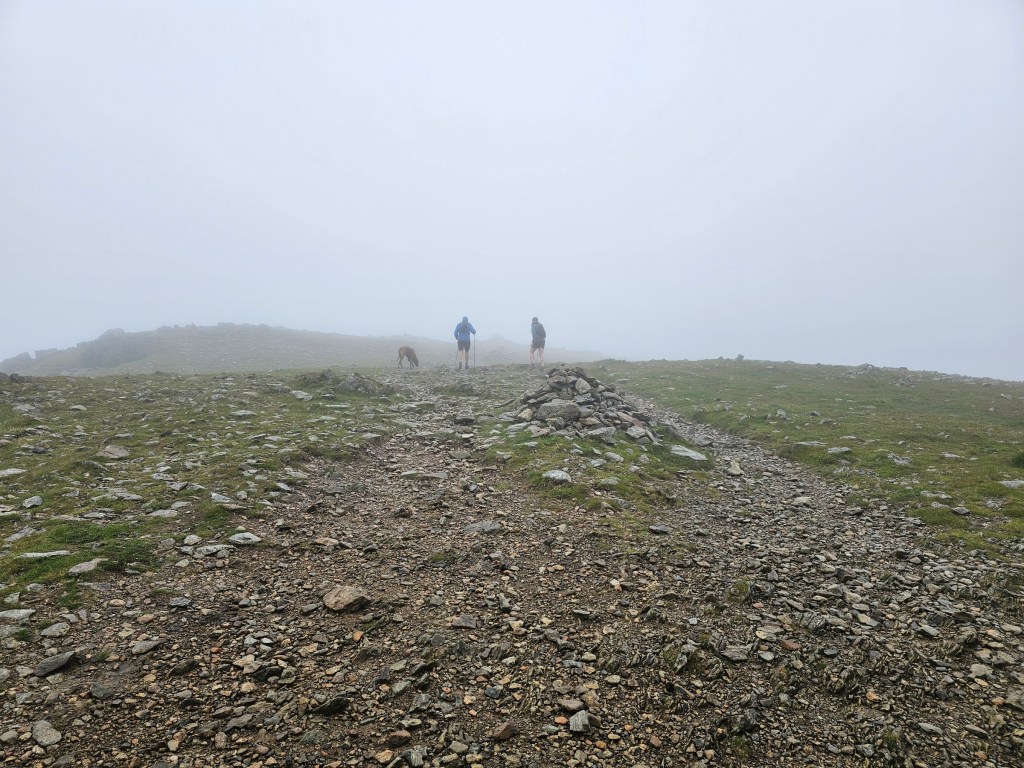
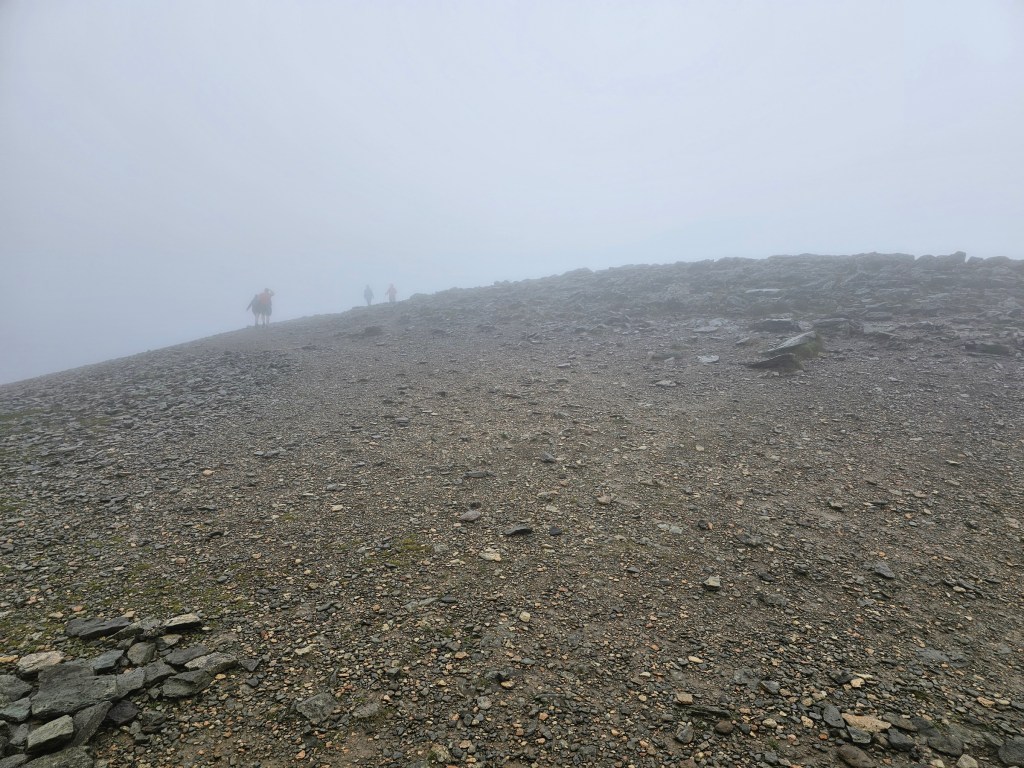
I was on the easy trail, far from steep drops and any technical difficulties, and yet I was worried it could end badly. I have never, ever, experienced weather that extreme. I wasn’t alone up there, luckily. I saw a handful of other people, in all ages, and even a few dogs. I didn’t want to give up so close to the summit, but deep down, I felt like I was pushing the safety boundaries. On the easy path!
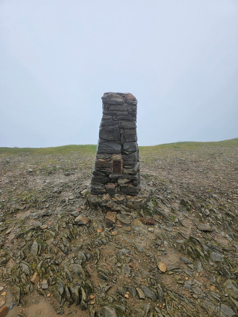
Eventually, a welcome view materialised. The trig point! This is where I hoped to enjoy the beautiful views, including the two knife edges and a small lake between them. Well, I didn’t see any of that. Next time, hopefully!
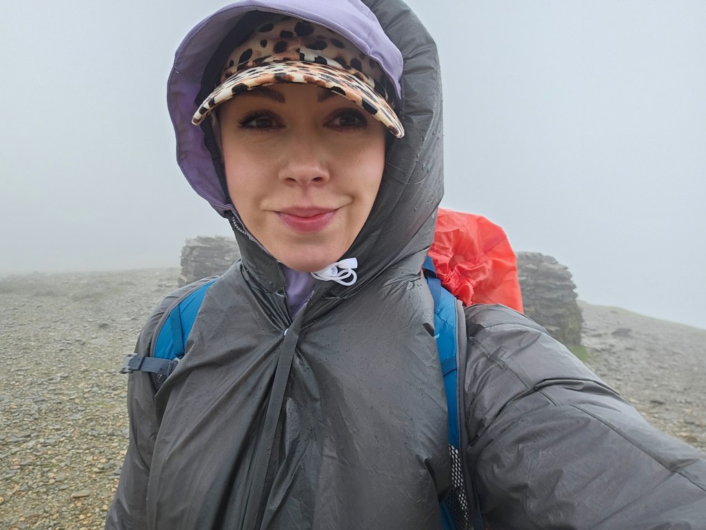
I walked a bit further, where the small stone walls create a bit of a shelter from the wind. Hiding behind them, I enjoyed a short break from the extreme conditions. I finally had a chance to reach into my bag and grab some food and water!
I didn’t stay at the top of Helvellyn for long – maybe some 10 minutes or so. There was no chance for views to improve, and if anything, I was worried that the situation might get even worse. And, frankly, I was exhausted by the wind and simply couldn’t wait to get back to a calmer place.

Descent from Helvellyn
Eager to escape the wind, I started the return journey. I decided to go back via the same path that I took for the ascent, to avoid taking additional risks. The trail near the peak of Helvellyn forks a few times, and I almost ended up on the wrong side of the path a few times! It’s hard to navigate in poor visibility.
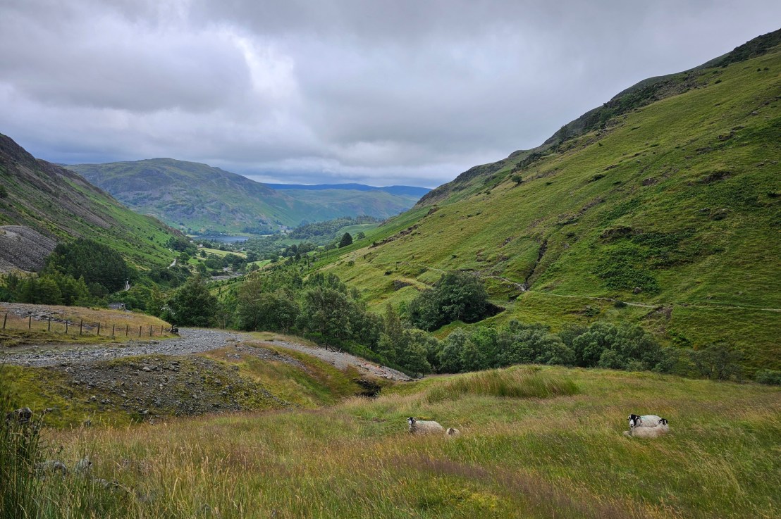
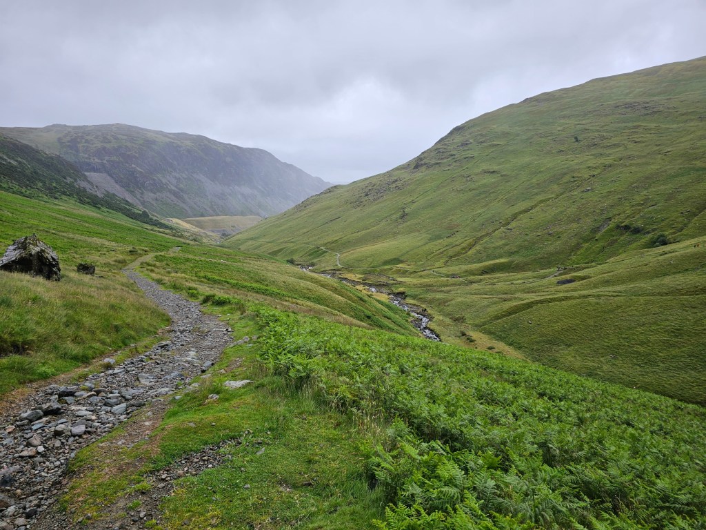
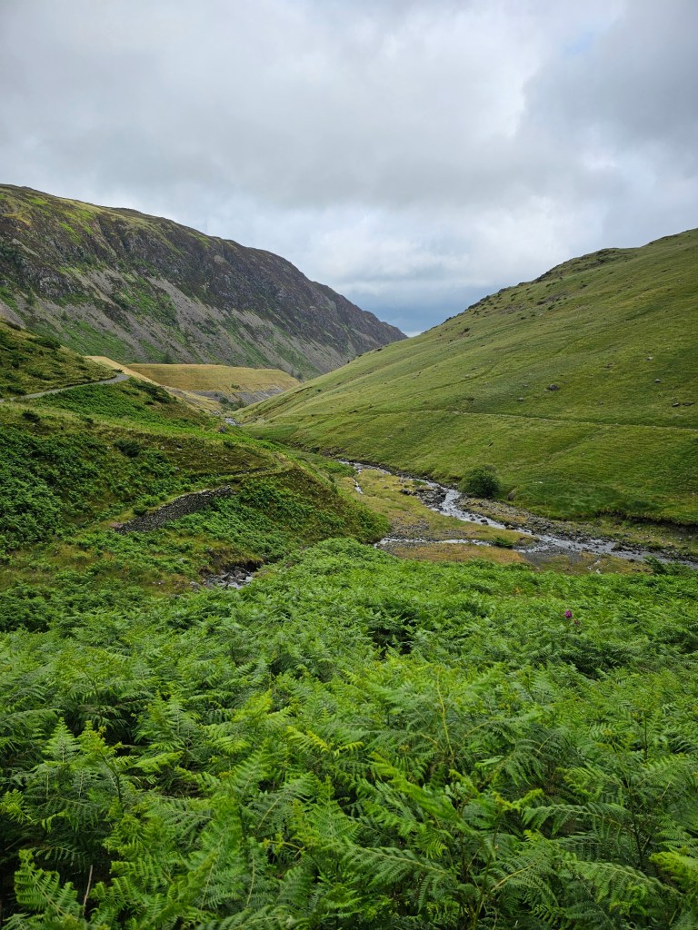
I was relieved when I finally reached the bottom of the heavy cloud and could finally see the beautiful valley. The wind was a lot more manageable there too, thankfully. The extreme conditions were contained near the top of Helvellyn.
During the descent, I saw a lot of people on the path on the other side of the valley, leading towards the knife edges. The conditions at that elevation were poor due to the rain, but nowhere near as bad as 400 metres above. I’d love to know if all of those people actually attempted to take on the edges, in such strong wind. That would be really irresponsible!
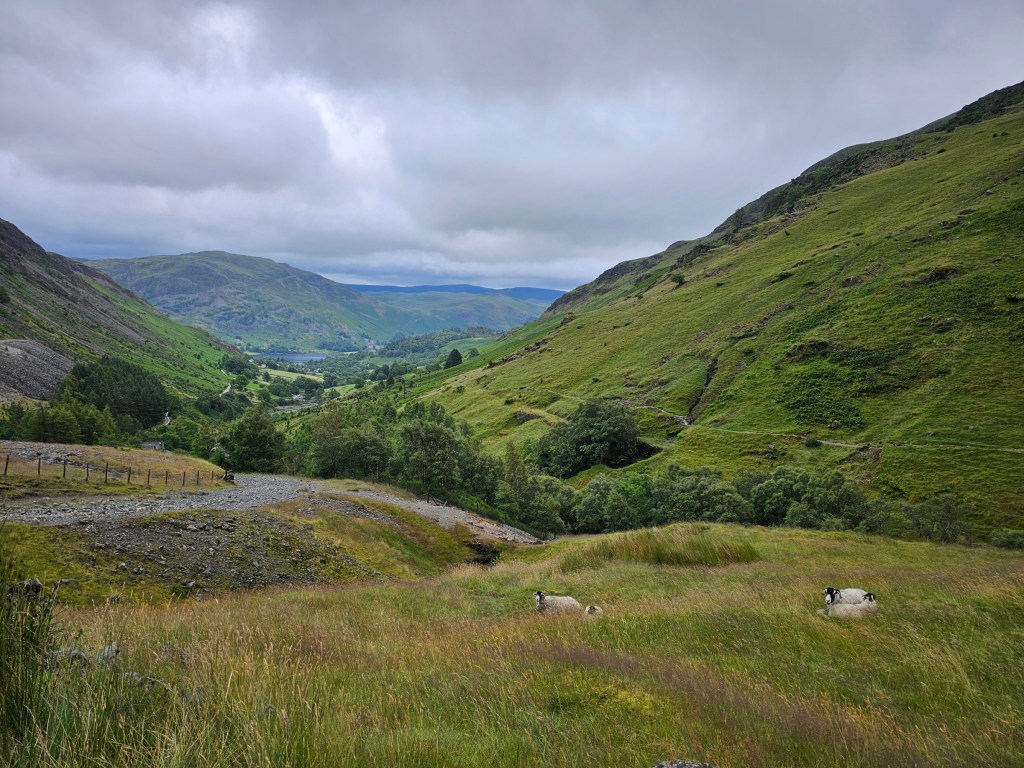
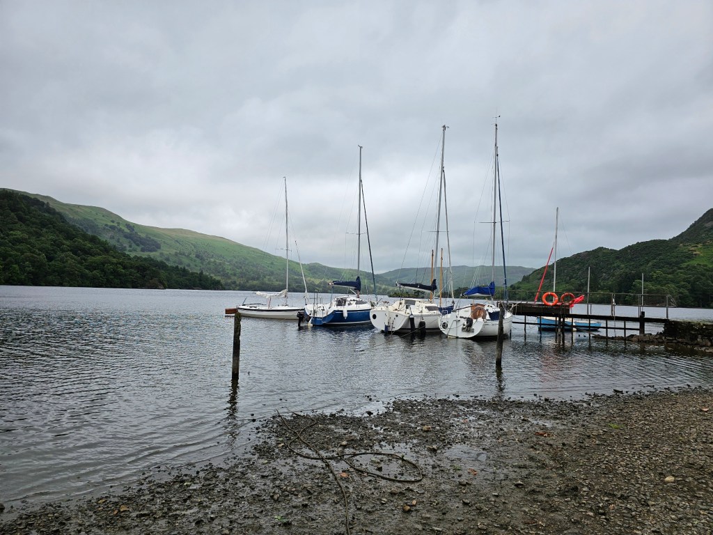
Eventually, I got back to Glenridding. The visitor centre was open, and I was able to buy my souvenirs – some fridge magnets, of course! I also walked up to Ullswater lake to enjoy the view.
Summary of the hike
The hike from Glenridding to Helvellyn and back, avoiding the two knife edges, took me 4 hours 33 minutes. It was 17.21 kilometres long, with 1168 metres of elevation gain. I walked relatively fast, except for the part of the hike near the summit, where I had to fight the wind. I didn’t waste much time on taking photos, since I couldn’t see much anyway!
Thoughts for the future
Whilst I was really disappointed not to have had a chance to appreciate the views from the top of Helvellyn, it was certainly an unforgettable hike! I experienced extreme conditions like I’ve never seen before, and although it was frightening in the moment, I now have an unusual story to tell.
I will definitely go back to Helvellyn in the future. With some luck, I might even be able to go there on a day trip from London by train… the main issue is that last minute train tickets in the UK are incredibly expensive! Either way, I hope to return to Helvellyn on a day with better visibility, hopefully.
Also see: