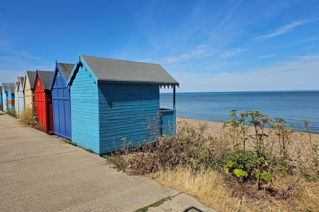
Today, I’m taking you on another long walk along the English Coast Path. This time, I covered the section between Whitstable and Margate in Kent. I managed to go on so many hikes and long walks this summer, I have a bit of a backlog of posts about them! This trip is from the beginning of August, when the days were still long, and we were in the middle of what felt like a never-ending heatwave and draught. This walk was 35 kilometres long and allowed me to check off a section of the English Coast Path that I hadn’t done before. Here’s how the trip went!
Getting to Whitstable from London
I took a direct southeastern train from London Stratford International to Whitstable. The journey time was just under 1 hour 30 minutes.
A quick stroll around Whitstable High Street
I didn’t take the shortest route from Whitstable train station to the seafront. Instead, I headed towards the High Street. I love walking around high streets in smaller towns outside of London. They usually have a lot of charity shops and independent stores. Great for gift shopping! I visited Whitstable in August and I already had Christmas on my mind. I did end up buying a small gift for my Mum in one of the shops.
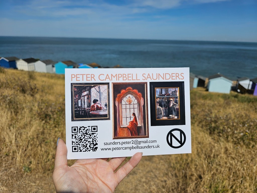
There happened to be probably 3 different art and craft fairs in Whitstable that day, and obviously, I checked them all out. One of them was a small temporary exhibition of paintings by a talented British artist. I went to check it out, and the painter himself greeted me at the door. I had a really nice chat with the gentleman, about art, his works, and having a career as an artist. A very friendly man, and really talented. I loved all of his works displayed in the room.
Eventually, I got to the seafront and officially started the Coast Path walk eastbound.
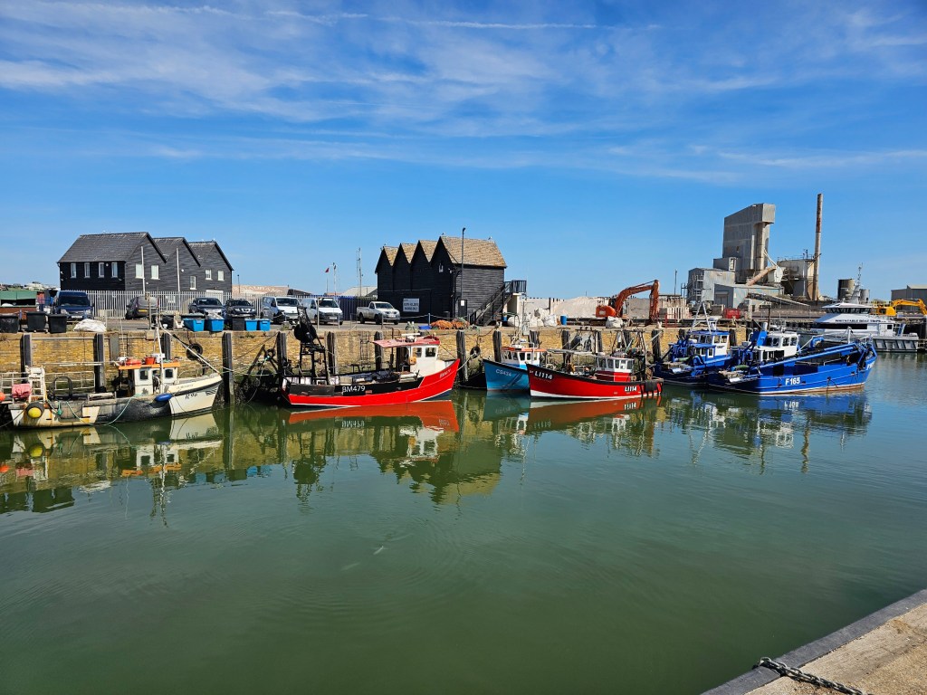
Whitstable to Herne Bay
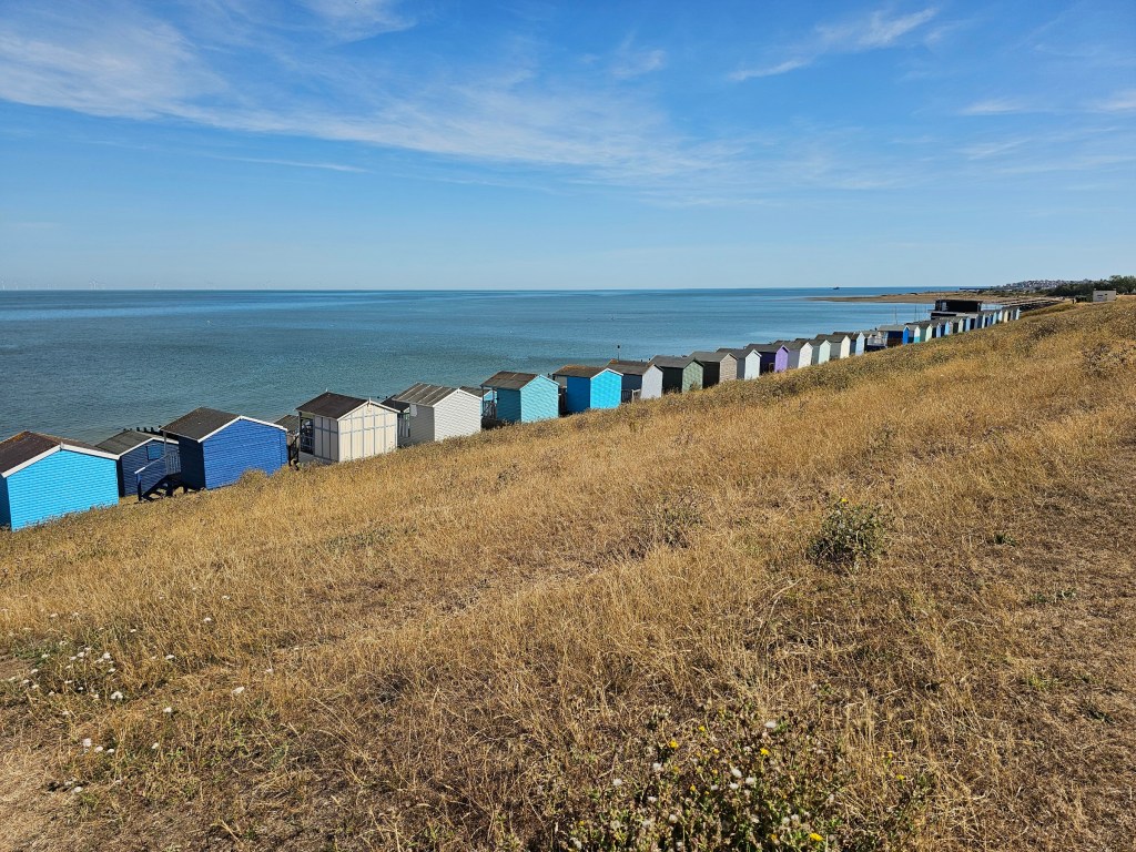
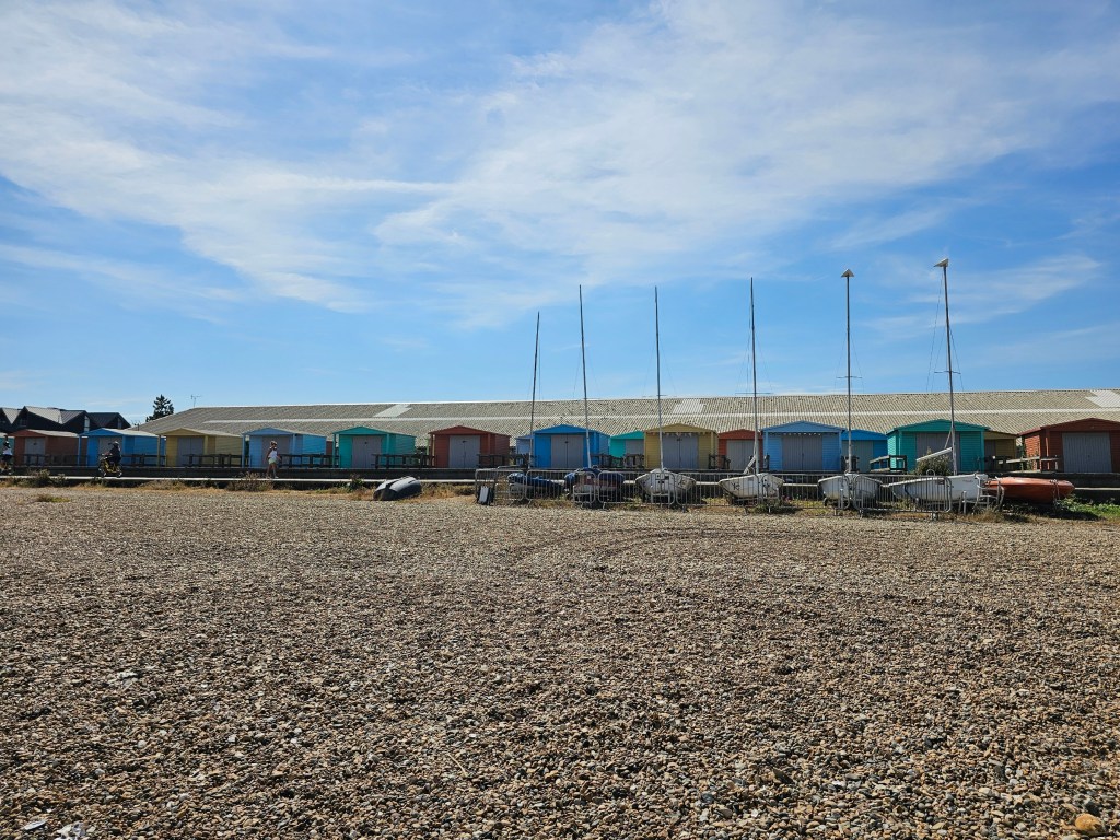
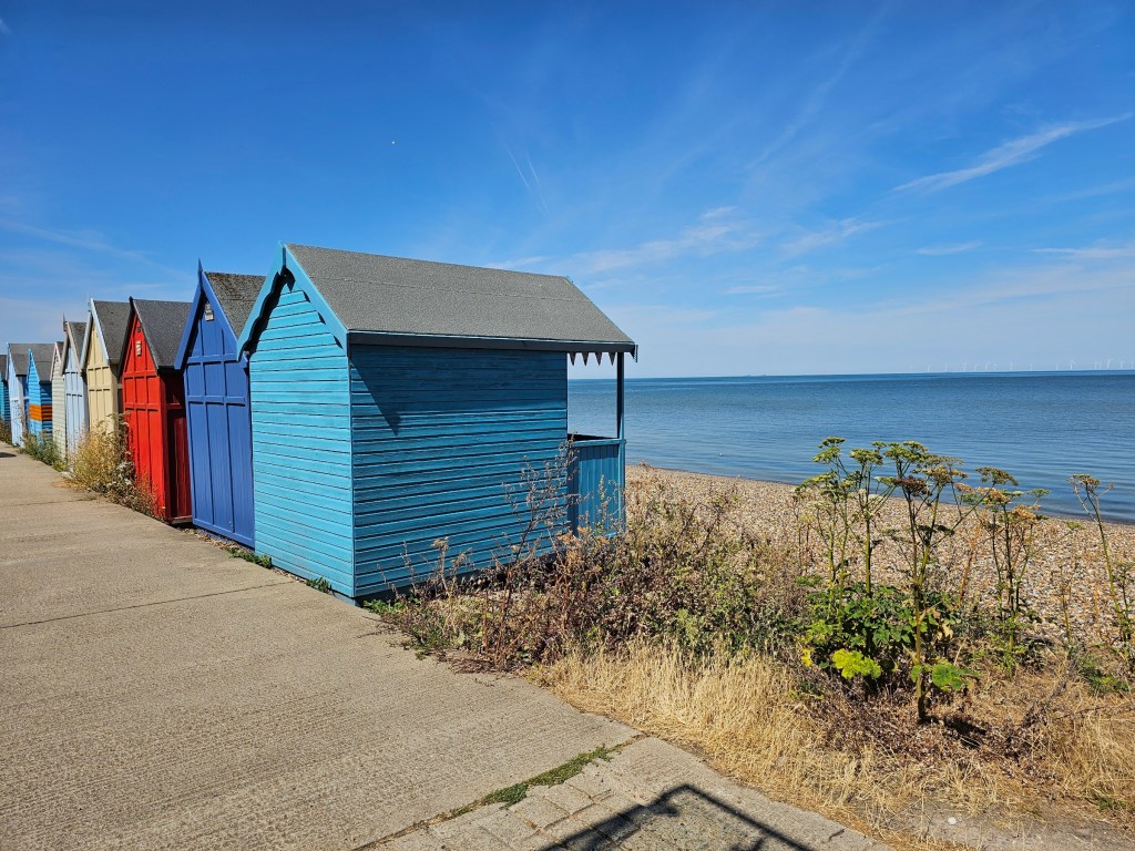
The first thing I noticed when I got to the seafront in Whitstable were the beach huts. Lots and lots of them, lining the coastal path on the small hill behind the beach in several rows. Seeing colourful beach huts when I go on my trips to the seaside always brings me joy. I saw hundreds – if not thousands – of colourful beach huts during the walk from Whitstable to Margate.
I had one small detour right at the start of the hike. I went to check out the Whitstable castle and gardens, located on top of the hill behind the beach huts.
The castle is a small but cute building that does indeed resemble a castle. There’s a tearoom inside now. I bought a cappuccino for takeaway there and, frankly, it was tiny! But at least it tasted alright.
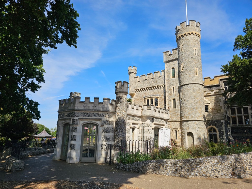
I can’t speak much of the Whitstable castle gardens for two reasons. First of all, the summer weather and the never-ending heatwaves turned the south-east of England yellow and dry. At that point, I hadn’t seen green grass for months. Second of all, there was a fair taking place in the castle gardens that weekend. Colourful tents and a bouncy castle stood in the way of enjoying the garden’s beauty.
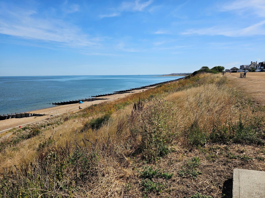
I took my cappuccino and headed towards Herne Bay, down the English Coast Path. The way was easy and flat. The sea and the pebble beach were on the left, and colourful beach huts were on the right. There was no shade at all on that path – which is why I don’t necessarily recommend that walk for a hot summer day.
Exploring Herne Bay
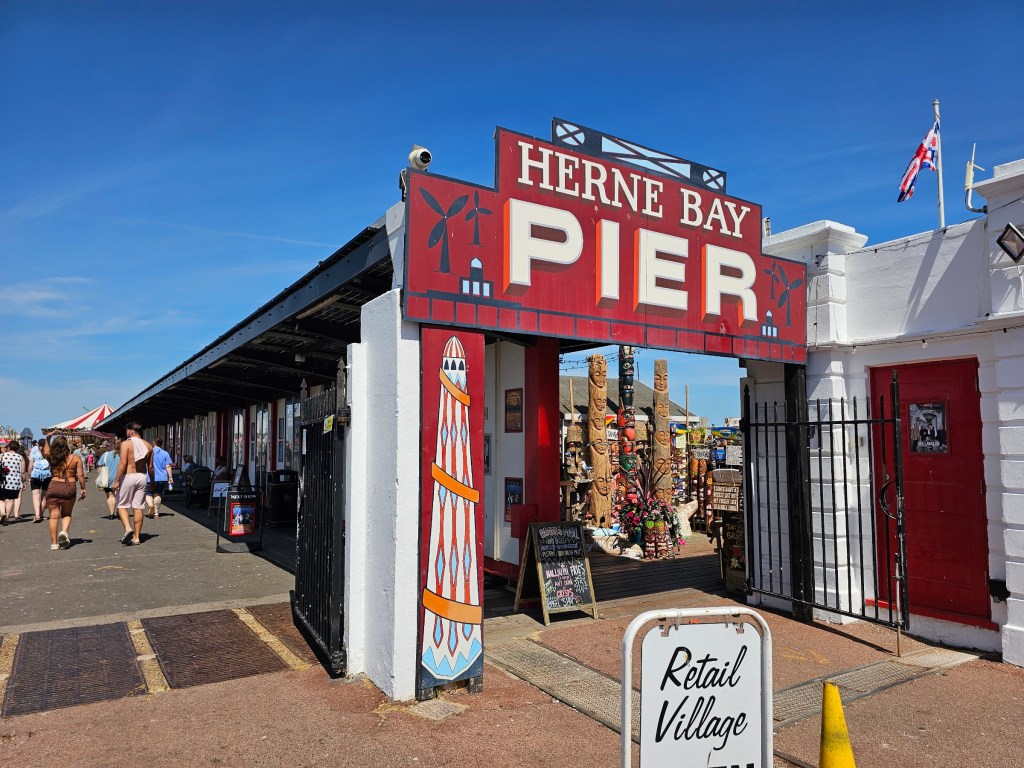
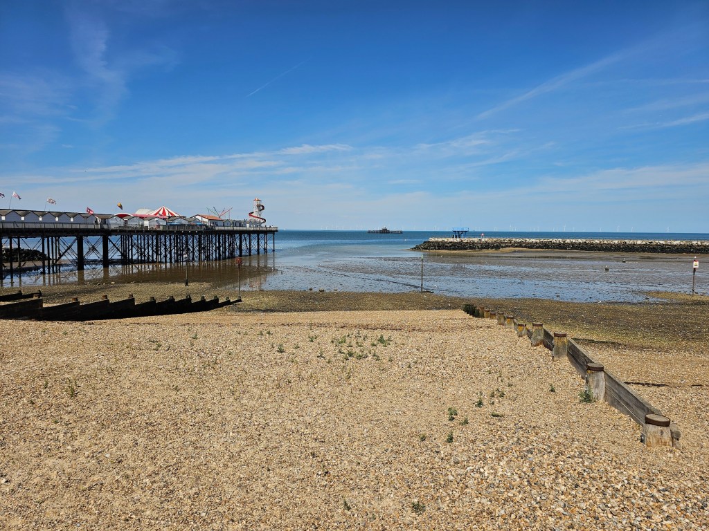
Once I got to Herne Bay (around 3 hours after I got off the train at Whitstable), I decided to explore the town quickly. First up, there was a pier. It’s not huge, but there were some food vendors, a few rides for kids, and some stalls selling… quite random stuff. I hoped to get a fridge magnet and there was one stand with magnets indeed, but the owner was nowhere to be seen, so I gave up.
Whilst in Herne Bay, I also took a quick detour to check out the high street, but it wasn’t anything special. I got back on the coast path and headed towards my next stop: Reculver.
From Herne Bay to Reculver Fort
The next section of the Coast Path walk was very similar to the previous one, with lots of beach huts and little shade. I walked along the beach at sea level until the path forked, and the signposts took me to the top of the cliff.
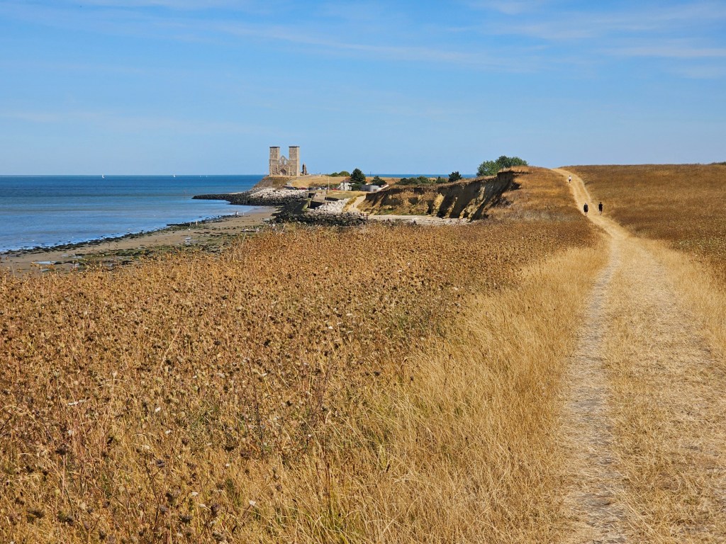
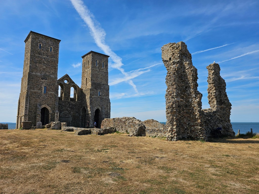
The next short portion of the trail ran through a woodland area on top of the cliffs, and I thoroughly enjoyed the temporary refuge from the sun. But soon, the path left the trees and entered an open space: a vast meadow with dry, yellow grass and wildflowers burnt by the sun. I could clearly see Reculver Fort on the horizon. Having seen its photos on Google Maps, I was intrigued by it. It looks so out of place!
Quick stop at Reculver Fort
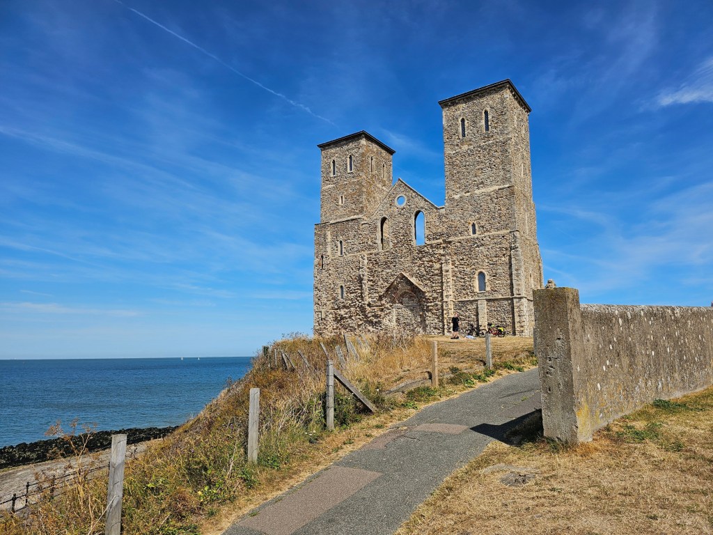
Once I reached Reculver Fort, I headed to HatsHats Coffee to get an iced coffee. Priorities! I then found a shaded area near the remains of the Roman fort and sat down to enjoy my coffee and the lunch I brought from home. I had a sandwich, some store-bought protein chicken bites, and my favourite summer salad. I posted a recipe for that salad a few weeks ago. I’ve been making it repeatedly over the summer. It holds well in the fridge, and it’s great for meal prepping. Juicy, refreshing, and salty thanks to the Polish style pickles. One of the best meals I’ve had on a hike in ages! I think it will become a staple for my long walks.
Once I finished my meal, I walked around the fort and read the information boards to learn more about it. Reculver Fort was one of the earliest Roman forts built as part of Saxon Shire. Centuries later, the abandoned fort became an Anglo-Saxon monastery. Later, the twin towers served as a navigation marker for ships at sea.
Finally, it was time to continue the hike.
When I embarked on this hike, I wasn’t sure how much energy I’d have and whether I’d be able to walk all the way to Margate. But at the very least, I wanted to get to Birchington, which is located along the same train line and has a train station.

The walk from Reculver to Birchington
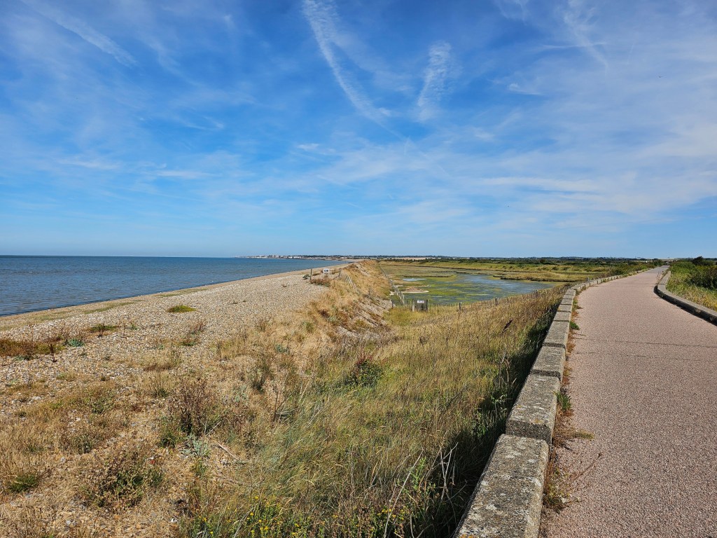
The next portion of the walk felt endless. The heat was really getting to me at that point. I planned the trip seeing ‘only’ 23 degrees in the forecast, which seemed fine for a long walk. Well, it certainly didn’t feel like 23! With no shade to hide from the sun, it felt like walking in a frying pan.
The beach huts disappeared for a longer while, and I walked down the path between the beach and some vast fields.
Reculver Fort behind me was getting smaller and smaller, but the town in front of me still seemed far away.
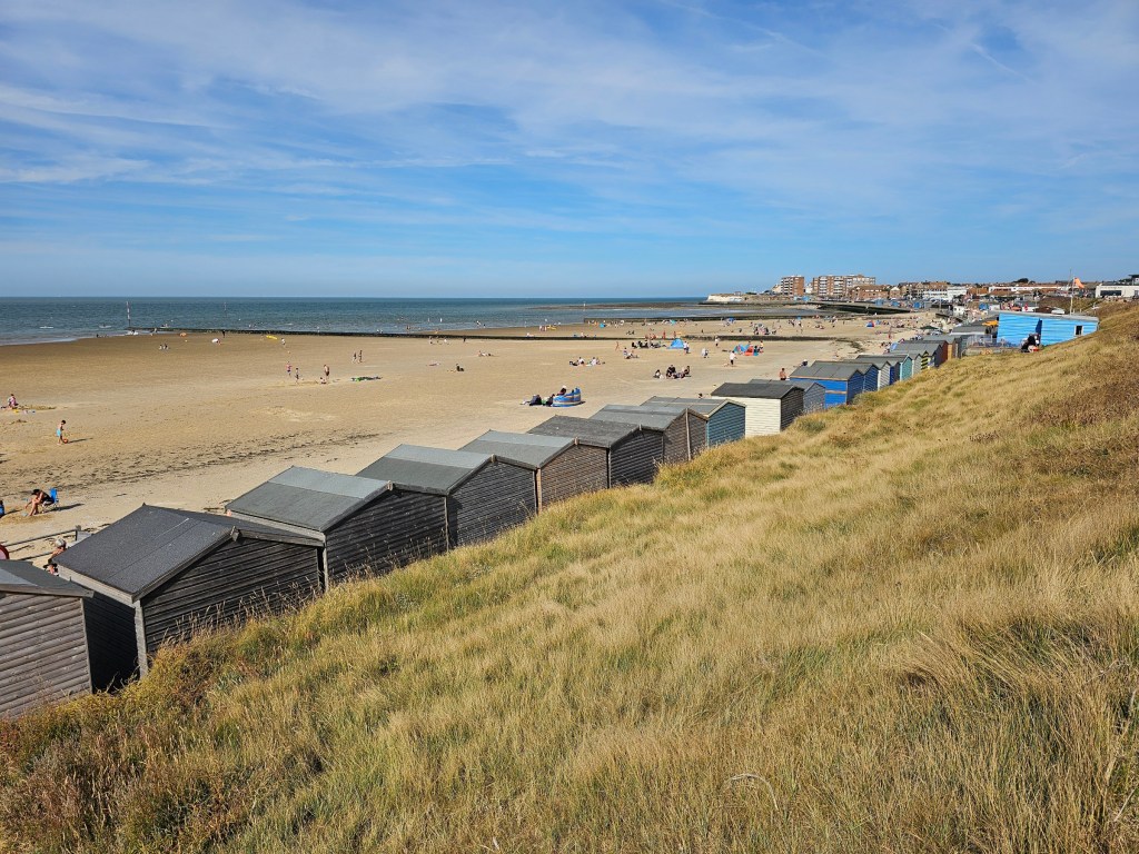
Eventually, after what felt like eternity, I got to Birchington. Beach huts appeared again, and the pebbles on the beach made way for sand. There were more and more people on the beach and in the water. When I got to the lifeguarded portion of the coast, there were crowds all around me.
To be quite honest, I was exhausted. Not so much from walking all day, but mainly due to the heat. I checked Google Maps to find out that Margate was only about 1 hour 20 minutes away. It was still relatively early, so I decided to continue the walk at a leisurely pace.
From Birchington to Margate
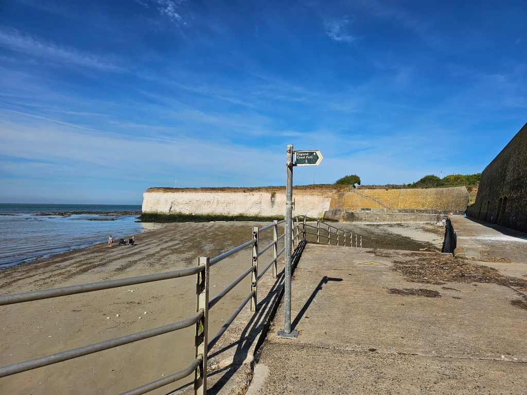
The last portion of my English Coast Path walk was quite different to the sections before. I was now walking along white cliffs, which occasionally – depending on how the path turned – gave a bit of shade.
On my left, there was the sea. But, there wasn’t an accessible beach. Instead, there were some strange rocks, covered with algae and seaweed. The water level was rising (this area of the English coast is subject to heavy tide) and the water seemed crystal clear in most places. But occasionally, a foul odour of rotting fish would hit my nostrils. It was a bit of a rollercoaster.
Eventually, I could see the crowds in Margate. I reached my destination.
Rest at the beach in Margate
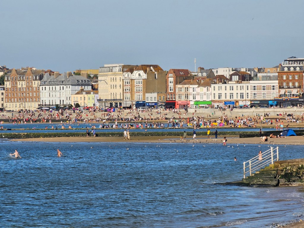
I had a bit of time to spare, so I decided to have a cold drink at a bar on the beach. I sat down and enjoyed my well-earned beverage. Margate beach is lovely – unlike most beaches in the south-east of England, it has silky sand, not pebbles. I’ve been to Margate before and enjoyed searching for seashells there at low tide. This time, since it was a hot summer Saturday, the beach was way too crowded for that.
Summary of the hike
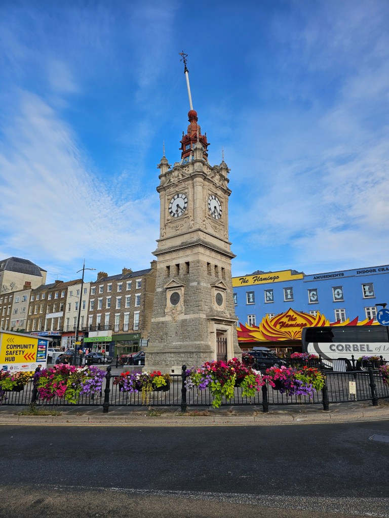
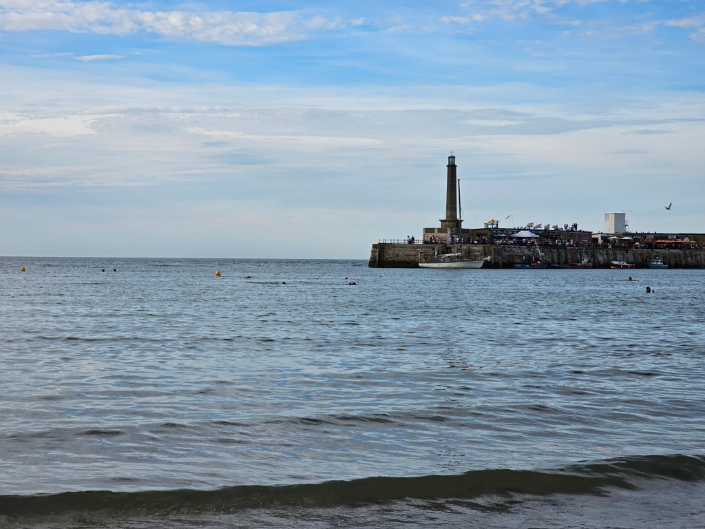
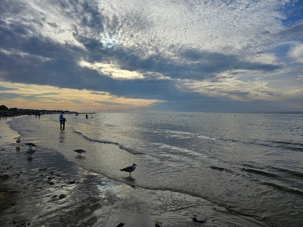
Overall, my walk from Whitstable station to Margate station was 35 kilometres long and took me 9 hours, including all the breaks, and detours to explore the shops on the high streets. It’s a pretty flat route – my watch registered 150 metres of elevation gain.
The highlights of the walk include Reculver Fort, and the hundreds of colourful beach huts. There were toilets near all of the towns – which is important news on a long hike!
I would happily do that walk again in slightly cooler weather. ‘Only’ 23 degrees and blue skies turned out to be a bit too much!
All in all, it was yet another successful day trip. And I managed to complete another section of the England Coast Path.
Also see:


2 thoughts on “Whitstable To Margate Walk – England Coast Path Trail – Very Long Walk Near London By Train”